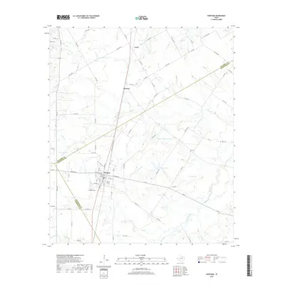
2019 Map of Wortham
USGS Topo · Published 2019About this map
Wortham stands at the crossroads of several Central Texas counties, serving as a focal point for the surrounding prairie where Freestone, Navarro, and Limestone counties meet. The landscape is defined by a dense network of watercourses, including Cedar Cr, Jackson Br, and Tehuacana Creek, which feed into local reservoirs like Wortham Lake and New Wortham Lake. Small settlements such as Richland and Currie anchor the northern reaches of the quadrangle, connected by rural roads like Farm Rd 641 and Ranch Rd 27. For those tracing local heritage, several burial sites are documented across the terrain, notably Long Bottom Cem near the town center and the more distant White Cem and Miller Cem, providing essential geographic markers for family history research in this rural corridor.
Find a feature on this map
84 named features on this map. Tap any name to fly to it.
Don’t see what you’re looking for? This feature index may not catch every label — zoom into the map to look around manually.
Map Details
Editions of this 2019 Wortham Map
This is the sole edition of this map. No revisions or reprints were ever made.
Other maps of this area

1920 · Mexia
USGS Topo · 1:62,500

1954 · Waco
USGS Topo · 1:250,000

1955 · Waco
USGS Topo · 1:250,000

1957 · Groesbeck
USGS Topo · 1:62,500

1960 · Streetman
USGS Topo · 1:24,000

1960 · Tehuacana
USGS Topo · 1:24,000

1963 · Richland
USGS Topo · 1:24,000

1963 · Wortham
USGS Topo · 1:24,000

1963 · Teague North
USGS Topo · 1:24,000

1963 · Kirvin
USGS Topo · 1:24,000