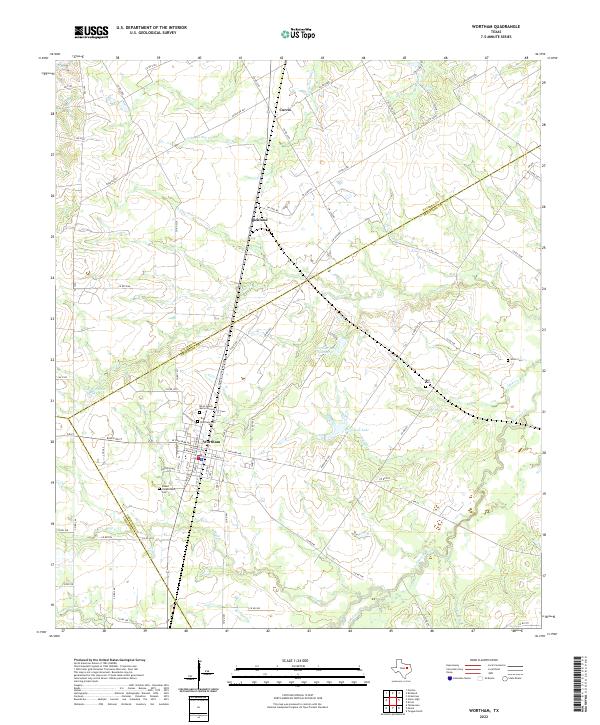
2022 Map of Wortham
USGS Topo · Published 2022About this map
Wortham serves as a central hub in this corner of North Texas, situated at the junction where multiple county lines converge. The town's local history and cultural significance are anchored by the Blind Lemon Memorial Cem, alongside other family and community burial grounds such as Wortham Cem and the Robert Longbotham Cem. These sites provide critical touchpoints for genealogists tracing the legacy of the area's early residents.
Find a feature on this map
93 named features on this map. Tap any name to fly to it.
Don’t see what you’re looking for? This feature index may not catch every label — zoom into the map to look around manually.
Map Details
Editions of this 2022 Wortham Map
This is the sole edition of this map. No revisions or reprints were ever made.
Other maps of this area

1920 · Mexia
USGS Topo · 1:62,500

1954 · Waco
USGS Topo · 1:250,000

1955 · Waco
USGS Topo · 1:250,000

1957 · Groesbeck
USGS Topo · 1:62,500

1960 · Streetman
USGS Topo · 1:24,000

1960 · Tehuacana
USGS Topo · 1:24,000

1963 · Richland
USGS Topo · 1:24,000

1963 · Wortham
USGS Topo · 1:24,000

1963 · Teague North
USGS Topo · 1:24,000

1963 · Kirvin
USGS Topo · 1:24,000