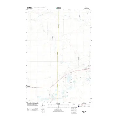
2013 Map of Wright
USGS Topo · Published 2013About this map
Wright and Tamarack anchor this landscape along the Aitkin Co Carlton Co boundary, where a network of glacial lakes and river systems defines the regional geography. The Tamarack River and Little Tamarack River wind through the northern sections, while the south is characterized by a dense cluster of named water bodies, including Cranberry Lake, Spruce Lake, and Mattlia Lake. This 2013 survey illustrates the local importance of community landmarks, with several cemeteries such as Wright Community Cem, Wright Catholic Cem, and Lakeview Cem situated near the settlement of Wright. The concentration of lakes like School Lake and Walli Lake alongside the W Br Kettle River suggests a terrain shaped by heavy moisture and drainage patterns common to this part of Minnesota.
Find a feature on this map
43 named features on this map. Tap any name to fly to it.
Don’t see what you’re looking for? This feature index may not catch every label — zoom into the map to look around manually.
Map Details
Editions of this 2013 Wright Map
This is the sole edition of this map. No revisions or reprints were ever made.
Other maps of this area

1953 · Duluth
USGS Topo · 1:250,000

1958 · Duluth
USGS Topo · 1:250,000

1961 · Cromwell
USGS Topo · 1:62,500

1963 · Prairie Lake
USGS Topo · 1:24,000

1969 · Automba
USGS Topo · 1:24,000

1969 · Lawler
USGS Topo · 1:24,000

1970 · Tamarack
USGS Topo · 1:24,000

1970 · Little Prairie Lake
USGS Topo · 1:24,000

1970 · Balsam
USGS Topo · 1:24,000

1970 · Wright
USGS Topo · 1:24,000