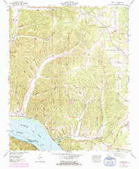
1953 Map of Wright
USGS Topo · Published 1973About this map
Pickwick Lake and the Tennessee River dominate the southern edge of this Tennessee Valley region, marking the boundary between Lauderdale and Colbert counties. The landscape is defined by an intricate network of hollows and ridges, such as Boiling Spring Ridge and Texas Hollow, where small settlements like Wright and Gravelly Springs took root. The Tennessee Valley Authority and U.S. Geological Survey documented this area just as the Natchez Trace Parkway was becoming a prominent fixture in the local geography. Genealogy researchers will find significant value in the distribution of rural community hubs, including Williams Chapel, Youngs Ch, and Murphy Cross Roads. The map also captures the placement of several family landmarks and burial sites, notably the Sharp Cem and Murphy Chapel, providing a clear view of the mid-century social and spiritual landscape of rural Alabama.
Find a feature on this map
55 named features on this map. Tap any name to fly to it.
Don’t see what you’re looking for? This feature index may not catch every label — zoom into the map to look around manually.
Map Details
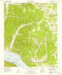
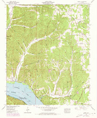
Editions of this 1953 Wright Map
3 editions found
Other maps of this area

1905 · Waynesboro
USGS Topo · 1:125,000

1911 · Iuka
USGS Topo · 1:48,000

1914 · Iuka
USGS Topo · 1:62,500

1924 · Gravelly Springs
USGS Topo · 1:48,000

1926 · Gravelly Springs
USGS Topo · 1:62,500

1935 · Cherokee
USGS Topo · 1:24,000

1935 · Wright
USGS Topo · 1:24,000

1936 · Margerum
USGS Topo · 1:24,000

1936 · Waterloo
USGS Topo · 1:24,000

1936 · Threet
USGS Topo · 1:24,000