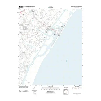
2010 Map of Wrightsville Beach
USGS Topo · Published 2010About this map
Wrightsville Beach and the intricate barrier islands of New Hanover County are captured in this 2010 survey, illustrating a landscape defined by tidal creeks and coastal development. The map details the residential expansion of communities like Airlie, Seagate, and Masonboro, while highlighting the preserved expanse of Masonboro Island to the south. Educational infrastructure is prominent on the western edge, where several buildings of the University of North Carolina - Wilmington Campus are named, including Cultural Arts Building and Burney Center.
Find a feature on this map
58 named features on this map. Tap any name to fly to it.
Don’t see what you’re looking for? This feature index may not catch every label — zoom into the map to look around manually.
Map Details
Editions of this 2010 Wrightsville Beach Map
This is the sole edition of this map. No revisions or reprints were ever made.
Other maps of this area

1942 · Topsail
USGS Topo · 1:62,500

1942 · Wilmington
USGS Topo · 1:62,500

1947 · Rocky Point
USGS Topo · 1:62,500

1948 · Topsail
USGS Topo · 1:62,500

1948 · Wilmington
USGS Topo · 1:62,500

1953 · Beaufort
USGS Topo · 1:250,000

1954 · Beaufort
USGS Topo · 1:250,000

1970 · Hampstead
USGS Topo · 1:24,000
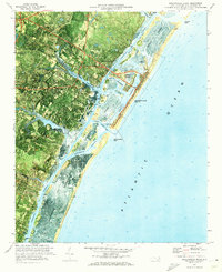
1970 · Wrightsville Beach
USGS Topo · 1:24,000
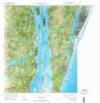
1970 · Carolina Beach
USGS Topo · 1:24,000
Featured Places
- Wilmington, NC
- Wrightsville Beach, NC
- Wrightsville, Wilmington
- Airlie, Wilmington
- Channel Acres, Wrightsville Beach