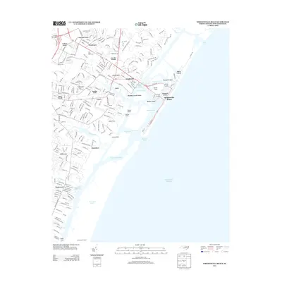
2013 Map of Wrightsville Beach
USGS Topo · Published 2013About this map
The coastal barrier islands and tidal sounds of New Hanover County are documented here just after the turn of the 21st century. Wrightsville Beach serves as the focal point, separated from the mainland by Banks Channel and the marsh-interrupted waters of Motts Channel. The map illustrates a densely developed shoreline where Harbor Island and Parmele Isles are connected by a network of bridges and causeways.
Find a feature on this map
58 named features on this map. Tap any name to fly to it.
Don’t see what you’re looking for? This feature index may not catch every label — zoom into the map to look around manually.
Map Details
Editions of this 2013 Wrightsville Beach Map
This is the sole edition of this map. No revisions or reprints were ever made.
Other maps of this area

1942 · Topsail
USGS Topo · 1:62,500

1942 · Wilmington
USGS Topo · 1:62,500

1947 · Rocky Point
USGS Topo · 1:62,500

1948 · Topsail
USGS Topo · 1:62,500

1948 · Wilmington
USGS Topo · 1:62,500

1953 · Beaufort
USGS Topo · 1:250,000

1954 · Beaufort
USGS Topo · 1:250,000

1970 · Hampstead
USGS Topo · 1:24,000
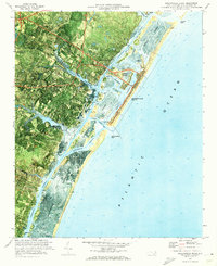
1970 · Wrightsville Beach
USGS Topo · 1:24,000
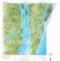
1970 · Carolina Beach
USGS Topo · 1:24,000
Featured Places
- Wilmington, NC
- Wrightsville Beach, NC
- Wrightsville, Wilmington
- Airlie, Wilmington
- Channel Acres, Wrightsville Beach