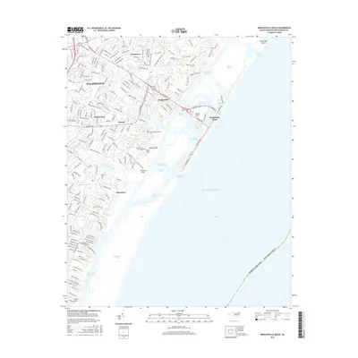
2016 Map of Wrightsville Beach
USGS Topo · Published 2016About this map
The dense coastal developments of eastern Wilmington meet the complex tidal networks of the Atlantic Ocean in this 2016 survey. The landscape is defined by the intricate waterways separating the mainland from barrier islands, including the Intracoastal Waterway, Banks Channel, and Greenville Sound. Residential growth is evident in established communities like Winter Park, Seagate, and Windemere, while the coastal economy centers on Wrightsville Beach and the protected harbor of Harbor Island. To the south, the natural breach at Masonboro Inlet marks the transition from the developed coastline to the tidal marshes surrounding Masonboro Sound. Local history is anchored by landmarks such as Oleander Memorial Gardens and the coastal points of Money Point, Shinn Point, and Holland Point, which trace the irregular shoreline of Bradley Creek and Hewletts Creek.
Find a feature on this map
191 named features on this map. Tap any name to fly to it.
Don’t see what you’re looking for? This feature index may not catch every label — zoom into the map to look around manually.
Map Details
Editions of this 2016 Wrightsville Beach Map
This is the sole edition of this map. No revisions or reprints were ever made.
Other maps of this area

1942 · Topsail
USGS Topo · 1:62,500

1942 · Wilmington
USGS Topo · 1:62,500

1947 · Rocky Point
USGS Topo · 1:62,500

1948 · Topsail
USGS Topo · 1:62,500

1948 · Wilmington
USGS Topo · 1:62,500

1953 · Beaufort
USGS Topo · 1:250,000

1954 · Beaufort
USGS Topo · 1:250,000

1970 · Hampstead
USGS Topo · 1:24,000
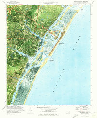
1970 · Wrightsville Beach
USGS Topo · 1:24,000
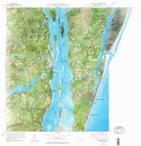
1970 · Carolina Beach
USGS Topo · 1:24,000
Featured Places
- Wilmington, NC
- Wrightsville Beach, NC
- Wrightsville, Wilmington
- Airlie, Wilmington
- Channel Acres, Wrightsville Beach