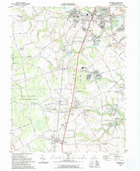
1993 Map of Wyoming
USGS Topo · Published 1993About this map
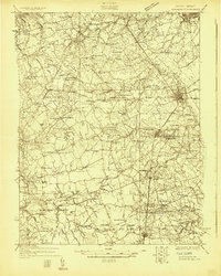
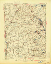
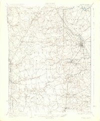
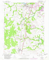
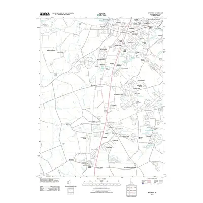
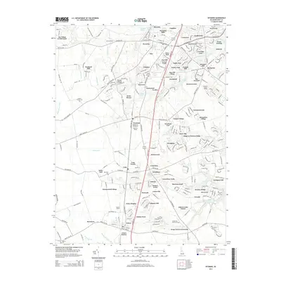
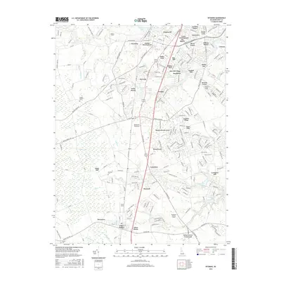
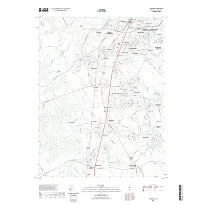
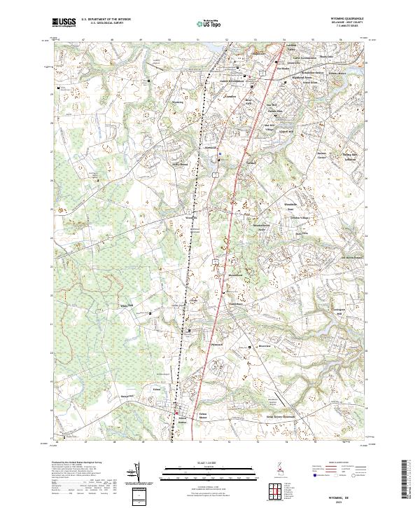
Camden and Wyoming anchor this Kent County landscape, showing the suburban expansion and agricultural character of Central Delaware in the early 1990s. The Conrail line bisects the territory, connecting established town centers with smaller outposts like Woodside, Viola, and Canterbury. Significant acreage is dedicated to conservation, most notably the Norman G Wilder State Wildlife Area and the McGinnis Pond State Wildlife Area, which preserve the wetlands along Cow Marsh Drain and Hudson Branch. Local history is visible in the placement of the Alms House and the numerous small rural churches like St James Ch and Christ Memorial Ch. The map also documents the proliferation of mobile home communities such as Flying Dutchman Mobile Home Park and Southwood Acres Mobile Home Park, reflecting the era's residential patterns near the Dover AFB Housing Annex.
Find a feature on this map
126 named features on this map. Tap any name to fly to it.
Don’t see what you’re looking for? This feature index may not catch every label — zoom into the map to look around manually.
Map Details
Editions of this 1993 Wyoming Map
This is the sole edition of this map. No revisions or reprints were ever made.
Historical Maps of Highland Acres Through Time
10 maps found