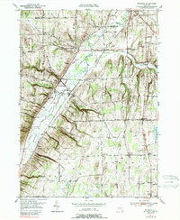
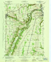
1951 Map of Wyoming
USGS Topo · Published 1989About this map
The Wyoming Valley dominates this Western New York landscape, where the meandering path of Oatka Creek carves through the transition between the agricultural uplands and the valley floor. During the mid-20th century, the village of Wyoming served as a central hub, anchored by its Central School and supported by a network of rural hamlets like Pearl Creek and Covington. Industrial roots are visible at the Pioneer Salt Well near the village and the Saltvale settlement, marking the importance of the local salt industry that once flourished in this region.
Find a feature on this map
78 named features on this map. Tap any name to fly to it.
Don’t see what you’re looking for? This feature index may not catch every label — zoom into the map to look around manually.
Map Details
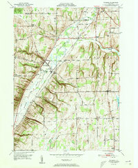
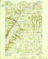
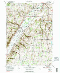
Editions of this 1951 Wyoming Map
4 editions found
Other maps of this area

1904 · Batavia
USGS Topo · 1:62,500

1904 · Caledonia
USGS Topo · 1:62,500

1905 · Portage
USGS Topo · 1:62,500

1905 · Nunda
USGS Topo · 1:62,500

1943 · Mount Morris
USGS Topo · 1:24,000

1943 · Warsaw
USGS Topo · 1:24,000

1943 · Castile
USGS Topo · 1:24,000
1944 · Mount Morris
USGS Topo · 1:31,680

1944 · Stafford
USGS Topo · 1:31,680

1944 · Warsaw
USGS Topo · 1:31,680