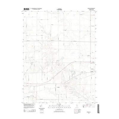
2015 Map of Xenia NE
USGS Topo · Published 2015About this map
Kenner and the western outskirts of Flora anchor this agricultural landscape in Clay County, where a network of rural roads such as Hickory Hill Ln and Grove Creek Ln divide the terrain. The area is defined by the winding paths of Raccoon Cr and Buck Cr, which cut through the local topography alongside several smaller tributaries. For those researching family history, numerous small burial grounds are scattered across the quadrangle, including the Oak Mound Cem and the Logan Family Cem, providing specific points of interest for genealogists.
Find a feature on this map
35 named features on this map. Tap any name to fly to it.
Don’t see what you’re looking for? This feature index may not catch every label — zoom into the map to look around manually.
Map Details
Editions of this 2015 Xenia NE Map
This is the sole edition of this map. No revisions or reprints were ever made.
Other maps of this area
1948 · Flora
USGS Topo · 1:62,500
1949 · Flora
USGS Topo · 1:62,500
1952 · Xenia
USGS Topo · 1:62,500
1953 · Sailor Springs
USGS Topo · 1:62,500
1956 · Edgewood
USGS Topo · 1:62,500
1958 · Belleville
USGS Topo · 1:250,000
1962 · Belleville
USGS Topo · 1:250,000
1968 · Orchardville
USGS Topo · 1:24,000
1968 · Xenia
USGS Topo · 1:24,000
1968 · Xenia NE
USGS Topo · 1:24,000