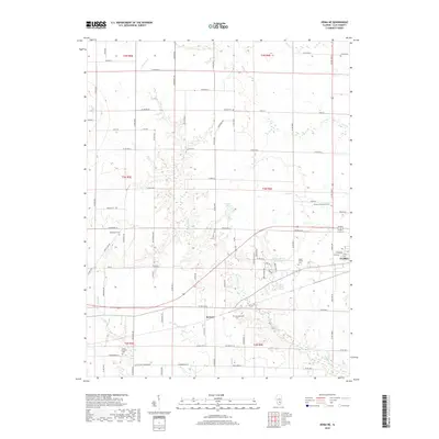
2018 Map of Xenia NE
USGS Topo · Published 2018About this map
Kenner and the western edge of Flora anchor this Clay County landscape, where the rural grid is defined by a dense network of creek systems including Raccoon Creek and Elm Creek. The area is notably rich in family and community burial grounds, preserving local genealogy through sites such as the Logan Family Cemetery, Golden Cemetery, and Meisenheimer Cemetery. These small landmarks, along with the Camp Ground Cemetery in the southern reaches, trace the 19th and 20th-century settlement patterns of these Illinois townships. Recreational and water features like Trago Lake and the Charley Brown Park Lake interrupt the agricultural landscape, while the intricate system of county roads—many named for trees like Red Maple Road and Ironwood Road—illustrates the modern organization of this long-settled region.
Find a feature on this map
89 named features on this map. Tap any name to fly to it.
Don’t see what you’re looking for? This feature index may not catch every label — zoom into the map to look around manually.
Map Details
Editions of this 2018 Xenia NE Map
This is the sole edition of this map. No revisions or reprints were ever made.
Other maps of this area

1948 · Flora
USGS Topo · 1:62,500

1949 · Flora
USGS Topo · 1:62,500

1952 · Xenia
USGS Topo · 1:62,500

1953 · Sailor Springs
USGS Topo · 1:62,500

1956 · Edgewood
USGS Topo · 1:62,500

1958 · Belleville
USGS Topo · 1:250,000

1962 · Belleville
USGS Topo · 1:250,000
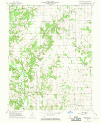
1968 · Orchardville
USGS Topo · 1:24,000
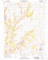
1968 · Xenia
USGS Topo · 1:24,000
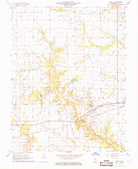
1968 · Xenia NE
USGS Topo · 1:24,000