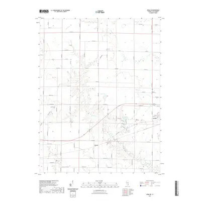
2021 Map of Xenia NE
USGS Topo · Published 2021About this map
Flora anchors the eastern edge of this agricultural landscape in Clay County, where the transition from the town's residential streets to the surrounding rural farmlands is marked by a network of creeks and small drainage basins. The area is defined by the winding course of Raccoon Cr and Bear Cr, which cut through the level terrain. Local history is deeply etched into the land through numerous small burial grounds, including the Logan Family Cem and Meisenheimer Cem, providing significant points of interest for genealogical research. The small settlement of Kenner sits centrally, surrounded by a grid of county roads such as Co Rd 700 N. Recreational and community landmarks like Charley Brown Park Lake and Trago Lake stand out against the patchwork of fields and woodlots, illustrating how the natural water system was utilized for local infrastructure and leisure in the early 21st century.
Find a feature on this map
85 named features on this map. Tap any name to fly to it.
Don’t see what you’re looking for? This feature index may not catch every label — zoom into the map to look around manually.
Map Details
Editions of this 2021 Xenia NE Map
This is the sole edition of this map. No revisions or reprints were ever made.
Other maps of this area

1948 · Flora
USGS Topo · 1:62,500

1949 · Flora
USGS Topo · 1:62,500

1952 · Xenia
USGS Topo · 1:62,500

1953 · Sailor Springs
USGS Topo · 1:62,500

1956 · Edgewood
USGS Topo · 1:62,500

1958 · Belleville
USGS Topo · 1:250,000

1962 · Belleville
USGS Topo · 1:250,000
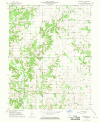
1968 · Orchardville
USGS Topo · 1:24,000
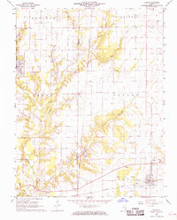
1968 · Xenia
USGS Topo · 1:24,000
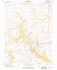
1968 · Xenia NE
USGS Topo · 1:24,000