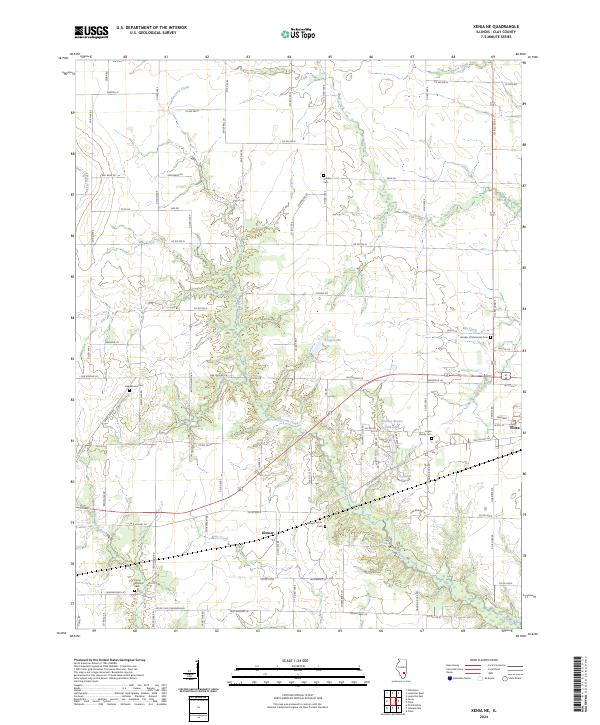
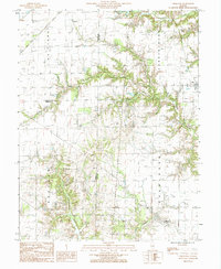
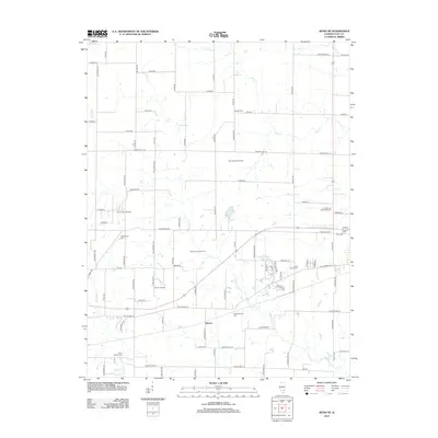
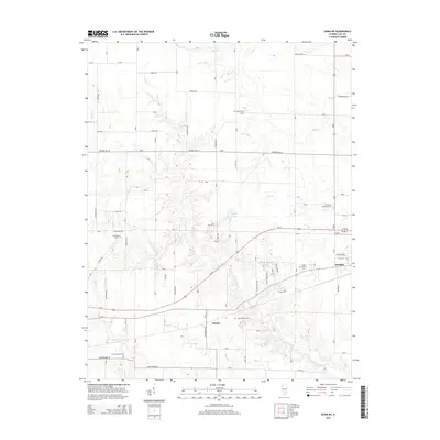
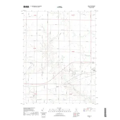
2024 Map of Xenia NE
USGS Topo · Published 2024About this map
Kenner sits within a landscape defined by its agricultural heritage and a dense network of country roads, where the drainage of Raccoon Creek and its many tributaries like Buck Creek and Brush Creek shape the rural topography. The area is marked by several small, scattered burial sites that serve as vital records for local genealogy, including the Logan Family Cem and the Meisenheimer Cem. In the southeastern corner, the outskirts of Flora introduce a more structured grid near Charley Brown Park Lake and the Garden of Memories Cem. The road names reflect a mix of utilitarian county designations and more descriptive local identifiers such as Oak Mound Ln and Sassafras Dr, illustrating the contemporary layering of long-established farmsteads with more modern residential naming conventions.
Find a feature on this map
86 named features on this map. Tap any name to fly to it.
Don’t see what you’re looking for? This feature index may not catch every label — zoom into the map to look around manually.
Map Details
Editions of this 2024 Xenia NE Map
This is the sole edition of this map. No revisions or reprints were ever made.
Historical Maps of Flora Through Time
24 maps found
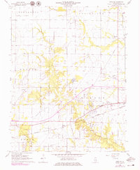
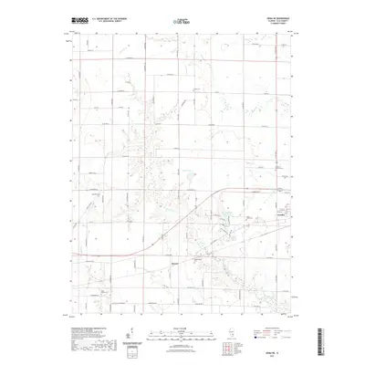
1968 Xenia NE
Clay County, IL
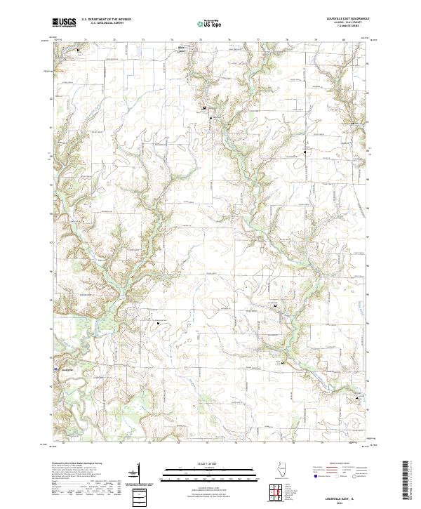
1985 Louisville East
Clay County, IL
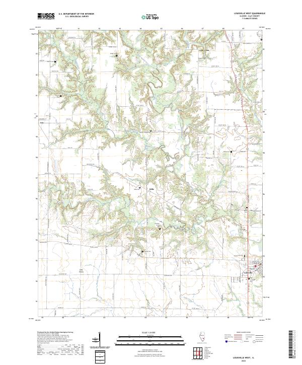
1985 Louisville West
Clay County, IL
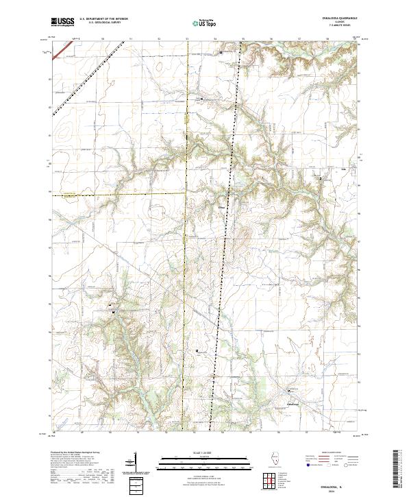
1985 Oskaloosa
Clay County, IL
2012 Louisville East
Clay County, IL
2012 Louisville West
Clay County, IL
2012 Oskaloosa
Clay County, IL
2012 Xenia NE
Clay County, IL
2015 Louisville East
Clay County, IL
2015 Louisville West
Clay County, IL
2015 Oskaloosa
Clay County, IL
2015 Xenia NE
Clay County, IL
2018 Louisville East
Clay County, IL
2018 Louisville West
Clay County, IL
2018 Oskaloosa
Clay County, IL
2018 Xenia NE
Clay County, IL
2021 Louisville East
Clay County, IL
2021 Louisville West
Clay County, IL
2021 Oskaloosa
Clay County, IL
2021 Xenia NE
Clay County, IL
2024 Louisville East
Clay County, IL
2024 Louisville West
Clay County, IL
2024 Oskaloosa
Clay County, IL
2024 Xenia NE
Clay County, IL