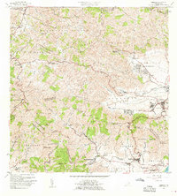
1960 Map of Yabucoa
USGS Topo · Published 1961About this map
Valle de Yabucoa dominates the landscape of southeastern Puerto Rico, showing the agricultural heart of the region as it appeared in the early 1960s. The town of Yabucoa and the industrial presence of Central Roig mark the eastern coastal plain, while the interior rises sharply into the Sierra de Cayey. The map reveals a dense network of local education and faith, including the Escuela Segunda Unidad near Martorell and the Capilla del Perpetuo Socorro nestled in the hills. To the south, the settlement of Maunabo sits near the foot of Cerro La Pandura, serving as a gateway between the coast and the mountainous Matuyas Bajo. This survey records a transition from traditional valley agriculture to more modern infrastructure, like the Subestación near the municipal seat, while preserving the names of local landmarks like Pico Lebrón and the winding Rio Maunabo.
Find a feature on this map
72 named features on this map. Tap any name to fly to it.
Don’t see what you’re looking for? This feature index may not catch every label — zoom into the map to look around manually.
Map Details
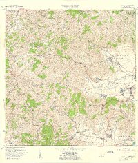
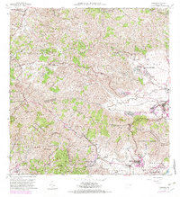
Editions of this 1960 Yabucoa Map
3 editions found
Other maps of this area

1945 · Punta Tuna
USGS Topo · 1:30,000

1946 · Patillas
USGS Topo · 1:30,000

1946 · Humacao
USGS Topo · 1:30,000

1946 · Punta Guayanes
USGS Topo · 1:30,000

1946 · Juncos
USGS Topo · 1:30,000

1946 · Yabucoa
USGS Topo · 1:30,000

1946 · Guayama
USGS Topo · 1:30,000

1946 · Caguas
USGS Topo · 1:30,000
1947 · Humacao SO
USGS Topo · 1:10,000

1947 · Yabucoa SO
USGS Topo · 1:10,000