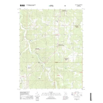
2017 Map of Yancy Mills
USGS Topo · Published 2017About this map
Little Piney Creek carves a deep valley through the heart of this terrain, where the northern reaches of the Ozarks meet the expansive Mark Twain National Forest. This 2017 study illustrates a landscape defined by its cemeteries and small clearings, with the settlement of Yancy Mills situated near the intersection of Little Piney Creek and Yancy Spring. Further north, the community of Vida sits along State Rte W, surrounded by a network of drainage features like Iron Ore Cr and Treable Cr.
Find a feature on this map
88 named features on this map. Tap any name to fly to it.
Don’t see what you’re looking for? This feature index may not catch every label — zoom into the map to look around manually.
Map Details
Editions of this 2017 Yancy Mills Map
This is the sole edition of this map. No revisions or reprints were ever made.
Other maps of this area

1912 · Rolla
USGS Topo · 1:62,500

1928 · Meramec Spring
USGS Topo · 1:62,500

1937 · Edgar Springs
USGS Topo · 1:48,000

1941 · Salem
USGS Topo · 1:62,500

1945 · Salem
USGS Topo · 1:62,500

1945 · Edgar Springs
USGS Topo · 1:62,500

1949 · Rolla
USGS Topo · 1:250,000

1949 · Meramec Spring
USGS Topo · 1:62,500

1950 · Newburg
USGS Topo · 1:24,000
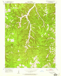
1950 · Kaintuck Hollow
USGS Topo · 1:24,000