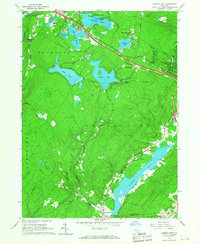
1966 Map of Yankee Lake
USGS Topo · Published 1976About this map
Shawangunk Mountains anchor the southeastern corner of this Sullivan County landscape, where the Basher Kill flows through a broad valley floor. This mid-1960s survey reveals a region defined by its diverse water bodies, ranging from the large recreational waters of Wolf Lake and Yankee Lake to the more developed shorelines of Wanaksink Lake and Lake Louise Marie near Rock Hill. The map documents a transition in infrastructure, showing a modern highway bisecting the northern lakes while traces of earlier transport survive in the valley below.
Find a feature on this map
47 named features on this map. Tap any name to fly to it.
Don’t see what you’re looking for? This feature index may not catch every label — zoom into the map to look around manually.
Map Details
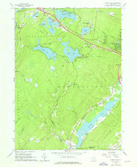
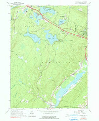
Editions of this 1966 Yankee Lake Map
3 editions found
Other maps of this area

1904 · Ellenville
USGS Topo · 1:62,500

1906 · Ellenville
USGS Topo · 1:62,500

1906 · Port Jervis
USGS Topo · 1:62,500

1906 · Goshen
USGS Topo · 1:62,500

1908 · Goshen
USGS Topo · 1:62,500

1908 · Port Jervis
USGS Topo · 1:62,500

1909 · Monticello
USGS Topo · 1:62,500

1911 · Monticello
USGS Topo · 1:62,500

1938 · Goshen
USGS Topo · 1:62,500

1942 · Port Jervis North
USGS Topo · 1:24,000