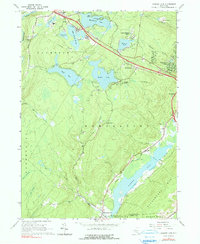
1966 Map of Yankee Lake
USGS Topo · Published 1990About this map
Wanaksink Lake and Lake Louise Marie anchor a landscape of significant mid-century recreational and residential development in the southern Catskill region. This 1966 photogrammetric survey captures the area during a period of modernization, evidenced by the Filtration Plant and Sewage Disposal infrastructure near Rock Hill. To the southeast, the Delaware and Hudson Canal follows the base of the Shawangunk Mts, marking the historic transportation corridor through the Basher Kill valley. The map reveals a transition from the industrial legacy of the canal era to a mid-century leisure economy, centered around Mamakating Park and numerous named lakes like Wolf Lake and Mastens Lake. Local heritage sites, including Belle Terre Cem near Westbrookville, provide clear points of reference for genealogical and topographic research.
Find a feature on this map
49 named features on this map. Tap any name to fly to it.
Don’t see what you’re looking for? This feature index may not catch every label — zoom into the map to look around manually.
Map Details
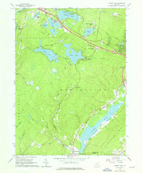
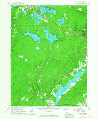
Editions of this 1966 Yankee Lake Map
3 editions found
Other maps of this area

1904 · Ellenville
USGS Topo · 1:62,500

1906 · Ellenville
USGS Topo · 1:62,500

1906 · Port Jervis
USGS Topo · 1:62,500

1906 · Goshen
USGS Topo · 1:62,500

1908 · Goshen
USGS Topo · 1:62,500

1908 · Port Jervis
USGS Topo · 1:62,500

1909 · Monticello
USGS Topo · 1:62,500

1911 · Monticello
USGS Topo · 1:62,500

1938 · Goshen
USGS Topo · 1:62,500

1942 · Port Jervis North
USGS Topo · 1:24,000