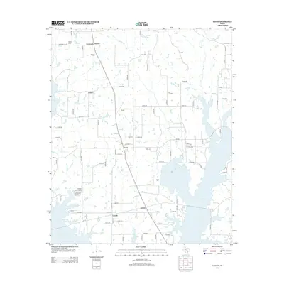
2012 Map of Yantis
USGS Topo · Published 2012About this map
Yantis and its surrounding Wood County countryside are defined by a network of small creeks and the expanding fingers of Case Lake in the early 2010s. The landscape is dotted with small rural settlements including Seymore, Grubbe, Gilbreth, and Gamblin, reflecting the traditional township structure of East Texas. A cluster of local burial grounds, such as Seymore Cem, Yantis Cem, Sharp Cem, and Holland Cem, provide valuable points of reference for genealogists tracing family roots in this area. Industrial and recreational interests are present through the Yantis Gas and Oil Field and the small private airstrip at Marlin's Meadow Airport. Waterways like Kintchloe Br, Running Cr, and Board Br wind through the terrain, illustrating the drainage patterns that feed into the larger reservoir system. The map also captures the local road network, from established farm-to-market routes like FM-17 to smaller community lanes such as White Oak Cir.
Find a feature on this map
112 named features on this map. Tap any name to fly to it.
Don’t see what you’re looking for? This feature index may not catch every label — zoom into the map to look around manually.
Map Details
Editions of this 2012 Yantis Map
This is the sole edition of this map. No revisions or reprints were ever made.
Other maps of this area

1953 · Texarkana
USGS Topo · 1:250,000

1956 · Texarkana
USGS Topo · 1:250,000

1956 · Tyler
USGS Topo · 1:250,000

1958 · Arbala
USGS Topo · 1:24,000

1958 · Alba
USGS Topo · 1:24,000

1959 · Calvary
USGS Topo · 1:24,000

1959 · Yantis
USGS Topo · 1:24,000

1959 · Alba
USGS Topo · 1:62,500

1960 · Pleasant Grove
USGS Topo · 1:24,000

1960 · Quitman
USGS Topo · 1:24,000