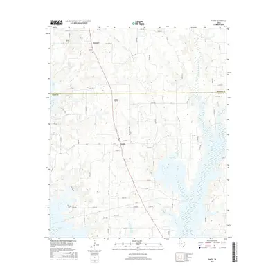
2016 Map of Yantis
USGS Topo · Published 2016About this map
Yantis serves as the central hub of this East Texas landscape, positioned where the Hopkins Co and Wood Co border defines local geography. The area's history is preserved through numerous family and community burial grounds, including the centrally located Yantis Cem, the Seymore Cem to the north, and both the Sharp Cem and Holland Cem in the southern reaches. The terrain is deeply influenced by the intricate hydrology of the region, where Case Lake expands across the lowlands, fed by a network of waterways like White Oak Cr, Double Br, and Long Br.
Find a feature on this map
91 named features on this map. Tap any name to fly to it.
Don’t see what you’re looking for? This feature index may not catch every label — zoom into the map to look around manually.
Map Details
Editions of this 2016 Yantis Map
This is the sole edition of this map. No revisions or reprints were ever made.
Other maps of this area

1953 · Texarkana
USGS Topo · 1:250,000

1956 · Texarkana
USGS Topo · 1:250,000

1956 · Tyler
USGS Topo · 1:250,000

1958 · Arbala
USGS Topo · 1:24,000

1958 · Alba
USGS Topo · 1:24,000

1959 · Calvary
USGS Topo · 1:24,000

1959 · Yantis
USGS Topo · 1:24,000

1959 · Alba
USGS Topo · 1:62,500

1960 · Pleasant Grove
USGS Topo · 1:24,000

1960 · Quitman
USGS Topo · 1:24,000