
1952 Map of Yarborough Pass
USGS Topo · Published 1953About this map
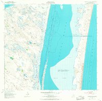
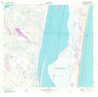
Laguna Madre dominates this 1952 study, separating the Texas mainland from the shifting sands of Padre Island. The landscape is defined by its reliance on deep water sources, evidenced by numerous named wells such as the Maria Petra Artesian Well and Perez Artesian Well that supported remote outposts like Carnestolendas Ranch. This era shows the coastline before extensive modern development, where the Intracoastal Waterway cuts a narrow path through the shallow lagoon.
Find a feature on this map
29 named features on this map. Tap any name to fly to it.
Don’t see what you’re looking for? This feature index may not catch every label — zoom into the map to look around manually.
Map Details
Editions of this 1952 Yarborough Pass Map
3 editions found
Other maps of this area

1928 · Sarita
USGS Topo · 1:125,000

1950 · Corpus Christi
USGS Topo · 1:250,000

1951 · South Bird Island SE
USGS Topo · 1:24,000

1951 · Point Of Rocks
USGS Topo · 1:24,000

1951 · Kleberg Point
USGS Topo · 1:24,000

1951 · Sarita 4 NE
USGS Topo · 1:24,000

1951 · South Bird Island
USGS Topo · 1:62,500

1952 · Potrero Cortado
USGS Topo · 1:24,000

1952 · Sarita 4 SE
USGS Topo · 1:24,000

1952 · Riviera Beach
USGS Topo · 1:62,500