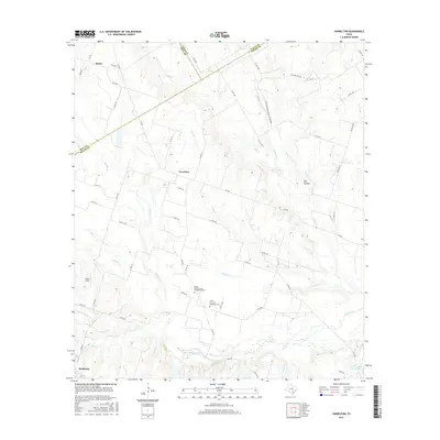
2016 Map of Yarrelton
USGS Topo · Published 2016About this map
Buckholts and the surrounding farmland of Milam County are defined by a dense network of watercourses and rural crossings. The landscape is dominated by the winding paths of Big Elm Creek, North Elm Creek, and South Elm Creek, which converge to create a complex drainage system through the central Texas plains. In the northern section, the community of Meeks sits near the intersection of Falls Road and FM 940, while Yarrelton occupies a central position among agricultural fields.
Find a feature on this map
60 named features on this map. Tap any name to fly to it.
Don’t see what you’re looking for? This feature index may not catch every label — zoom into the map to look around manually.
Map Details
Editions of this 2016 Yarrelton Map
This is the sole edition of this map. No revisions or reprints were ever made.
Other maps of this area

1885 · Taylor
USGS Topo · 1:125,000

1887 · Taylor
USGS Topo · 1:125,000

1892 · Temple
USGS Topo · 1:125,000

1894 · Taylor
USGS Topo · 1:125,000

1910 · Buckholts
USGS Topo · 1:24,000

1912 · Buckholts
USGS Topo · 1:31,680

1954 · Waco
USGS Topo · 1:250,000

1954 · Austin
USGS Topo · 1:250,000

1955 · Waco
USGS Topo · 1:250,000

1961 · Cameron
USGS Topo · 1:24,000