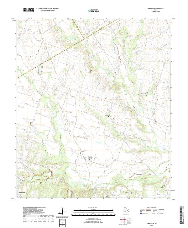
2022 Map of Yarrelton
USGS Topo · Published 2022About this map
Yarrelton sits at the heart of this Central Texas landscape, characterized by a dendritic network of creek beds and agricultural roads spanning the borderlands of Milam, Bell, and Falls Counties. The terrain is defined by the winding course of Big Elm Cr and its numerous tributaries, including McFall Br and S Elm Cr. This rural environment is anchored by small, historically significant communities like Meeks in the northwest and Buckholts along the southern edge.
Find a feature on this map
62 named features on this map. Tap any name to fly to it.
Don’t see what you’re looking for? This feature index may not catch every label — zoom into the map to look around manually.
Map Details
Editions of this 2022 Yarrelton Map
This is the sole edition of this map. No revisions or reprints were ever made.
Other maps of this area

1885 · Taylor
USGS Topo · 1:125,000

1887 · Taylor
USGS Topo · 1:125,000

1892 · Temple
USGS Topo · 1:125,000

1894 · Taylor
USGS Topo · 1:125,000

1910 · Buckholts
USGS Topo · 1:24,000

1912 · Buckholts
USGS Topo · 1:31,680

1954 · Waco
USGS Topo · 1:250,000

1954 · Austin
USGS Topo · 1:250,000

1955 · Waco
USGS Topo · 1:250,000

1961 · Cameron
USGS Topo · 1:24,000