
1943 Map of Yauhannah
USGS Topo · Published 1958About this map
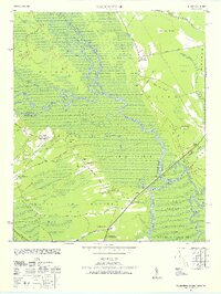
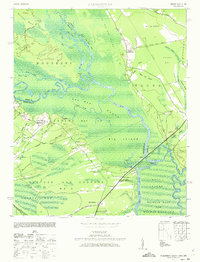
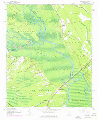
Pee Dee Swamp and the meandering channels of the Pee Dee River dominate this lowcountry landscape, revealing a complex network of waterways like Bull Creek and Conch Creek. The settlement pattern follows the higher ground along the margins of the swamps, where agricultural operations such as the Lucas Bay Plantation and community hubs like Gilbert Crossroads and Petersfield were established. The presence of the USA Bombing Range Limits in the southwest corner indicates the wartime repurposing of this rural terrain during the 1940s.
Find a feature on this map
58 named features on this map. Tap any name to fly to it.
Don’t see what you’re looking for? This feature index may not catch every label — zoom into the map to look around manually.
Map Details
Editions of this 1943 Yauhannah Map
4 editions found
Other maps of this area

1943 · Bucksville
USGS Topo · 1:24,000

1943 · Carvers Bay
USGS Topo · 1:24,000

1943 · Brookgreen
USGS Topo · 1:24,000

1943 · Plantersville
USGS Topo · 1:24,000

1943 · Dongola
USGS Topo · 1:24,000

1943 · Conway
USGS Topo · 1:24,000

1943 · Outland
USGS Topo · 1:24,000

1944 · Outland
USGS Topo · 1:31,680

1946 · Johnsonville
USGS Topo · 1:62,500

1949 · Georgetown
USGS Topo · 1:250,000