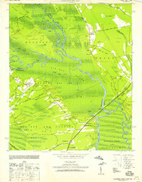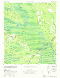
1943 Map of Yauhannah
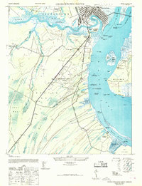
USGS Topo · Published 1973This historical map portrays the area of Yauhannah in 1943, primarily covering Georgetown County as well as portions of Horry County and Marion County. Featuring a scale of 1:24000, this map provides a highly detailed snapshot of the terrain, roads, buildings, counties, and historical landmarks in the Yauhannah region at the time. Published in 1973, it is one of 3 known editions of this map due to revisions or reprints.
Map Details
Editions of this 1943 Yauhannah Map
3 editions found
Historical Maps of Georgetown County Through Time
19 maps found
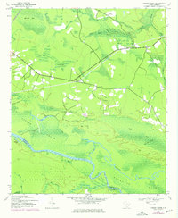
1942 Cedar Creek
Georgetown County, SC
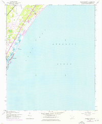
1942 Magnolia Beach
Georgetown County, SC
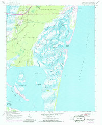
1942 North Island
Georgetown County, SC
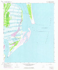
1942 Santee Point
Georgetown County, SC
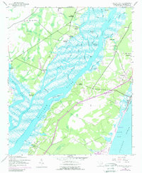
1942 Waverly Mills
Georgetown County, SC
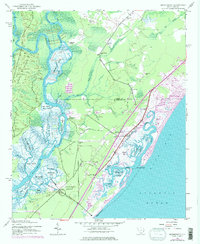
1943 Brookgreen
Georgetown County, SC
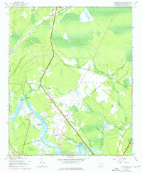
1943 Carvers Bay
Georgetown County, SC
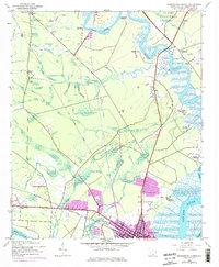
1943 Georgetown North
Georgetown County, SC
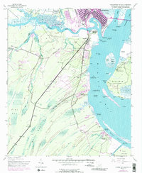
1943 Georgetown South
Georgetown County, SC
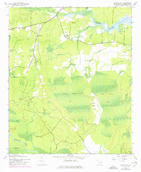
1943 Kilsock Bay
Georgetown County, SC
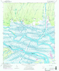
1943 Minim Island
Georgetown County, SC
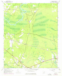
1943 Olin
Georgetown County, SC
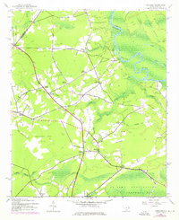
1943 Outland
Georgetown County, SC
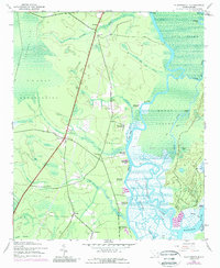
1943 Plantersville
Georgetown County, SC
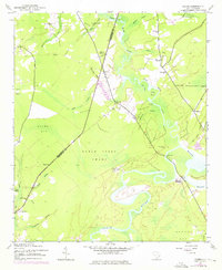
1943 Rhems
Georgetown County, SC
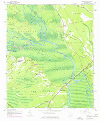
1943 Yauhannah
Georgetown County, SC
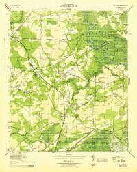
1944 Outland
Georgetown County, SC
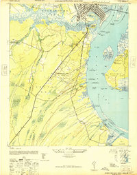
1947 Georgetown South
Georgetown County, SC
1968 Georgetown South
Georgetown County, SC
