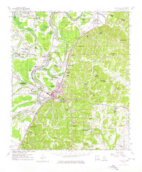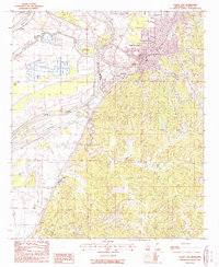
1984 Map of Yazoo City
USGS Topo · Published 1990About this map
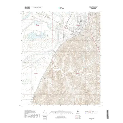
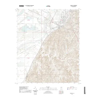
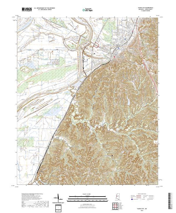
Yazoo City stands as the central hub of this mid-1980s landscape, positioned where the high bluffs of the loess hills overlook the expansive alluvial plains of the Mississippi Delta. The geography is defined by a complex hydraulic network designed to manage the flow of the Yazoo River, the Big Sunflower River, and the Whittington Auxiliary Channel. These waterways, along with numerous oxbow lakes like Panther Lake and Lake George, reflect a region shaped by centuries of river migration and modern engineering. Large tracts of protected bottomland hardwood forests are evident in the Delta National Forest and Panther Swamp National Wildlife Area.
Find a feature on this map
142 named features on this map. Tap any name to fly to it.
Don’t see what you’re looking for? This feature index may not catch every label — zoom into the map to look around manually.
Map Details
Editions of this 1984 Yazoo City Map
2 editions found

Historical Maps of Madison Through Time
8 maps found