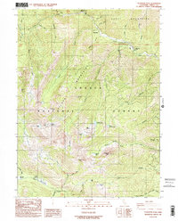
1986 Map of Ycatapom Peak
USGS Topo · Published 1986About this map
Ycatapom Peak dominates this mountainous landscape in the mid-1980s, where the high ridges of the Scott Mountains and Salmon Mountains converge within the Shasta National Forest. The geography is defined by a dense network of alpine lakes and seasonal drainages, including Sugar Pine Lake, Boulder Lake, and the remote Shimmy Lake. These waters feed into the North Fork Coffee Creek, carving deep gulches such as McGuire Gulch and Slide Gulch.
Find a feature on this map
58 named features on this map. Tap any name to fly to it.
Don’t see what you’re looking for? This feature index may not catch every label — zoom into the map to look around manually.
Map Details
Editions of this 1986 Ycatapom Peak Map
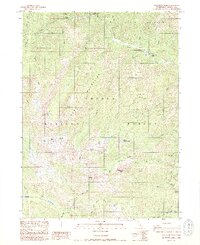
2 editions found
Other maps of this area

1886 · Shasta
USGS Topo · 1:250,000

1890 · Red Bluff
USGS Topo · 1:250,000

1894 · Red Bluff
USGS Topo · 1:250,000

1894 · Shasta
USGS Topo · 1:250,000

1913 · Weaverville
USGS Topo · 1:125,000

1923 · Sawyers Bar
USGS Topo · 1:125,000

1931 · Etna
USGS Topo · 1:96,000

1934 · Etna
USGS Topo · 1:125,000

1948 · Weed
USGS Topo · 1:250,000

1950 · Weed
USGS Topo · 1:250,000