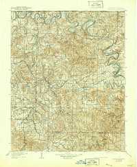
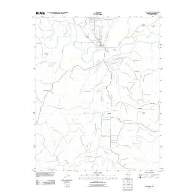
1905 Map of Yellville
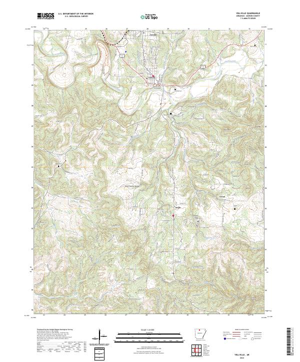
USGS Topo · Published 1944About this map
The White River and its deep, meandering bends dominate this Ozark landscape, serving as a primary corridor for commerce and transport before the era of modern bridges. Dozens of crossings are documented, from established operations like Denton Ferry and Keesee Ferry to natural transit points like Buck Shoals Ford. The region's economy is clearly tied to both the river and the advancing Missouri Pacific railroad, which snakes through the eastern hills toward Cotter.
Find a feature on this map
83 named features on this map. Tap any name to fly to it.
Don’t see what you’re looking for? This feature index may not catch every label — zoom into the map to look around manually.
Map Details
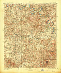
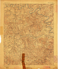
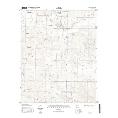
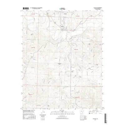
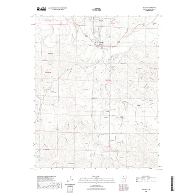
Editions of this 1905 Yellville Map
3 editions found

Historical Maps of Bull Shoals Through Time
10 maps found
1893 Yellville
Marion County, AR

1903 Yellville
Marion County, AR
1905 Yellville
Marion County, AR

1929 Yellville
Marion County, AR
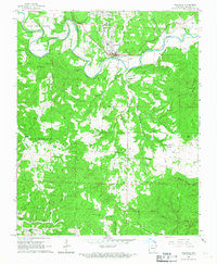
1966 Yellville
Marion County, AR
2011 Yellville
Marion County, AR
2014 Yellville
Marion County, AR
2017 Yellville
Marion County, AR
2020 Yellville
Marion County, AR
2024 Yellville
Marion County, AR