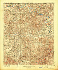
1905 Map of Yellville
USGS Topo · Published 1925About this map
White River navigation and transport dominate this 1891 survey of north-central Arkansas, recorded just before major damming projects altered the river's character. The landscape is defined by its reliance on water crossings and river commerce, evidenced by numerous active transit points like Keesee Ferry, Denton Ferry, and Fish Trap Shoals Ford. The settlement of Cotter sits prominently at a river bend, while Yellville serves as a regional hub further inland.
Find a feature on this map
85 named features on this map. Tap any name to fly to it.
Don’t see what you’re looking for? This feature index may not catch every label — zoom into the map to look around manually.
Map Details
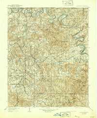
Editions of this 1905 Yellville Map
3 editions found

Other maps of this area

1890 · Mountain Home
USGS Topo · 1:125,000

1891 · Mountain Home
USGS Topo · 1:125,000

1892 · Marshall
USGS Topo · 1:125,000

1892 · Mountain View
USGS Topo · 1:125,000

1893 · Yellville
USGS Topo · 1:125,000

1894 · Mountain View
USGS Topo · 1:125,000

1894 · Mountain Home
USGS Topo · 1:125,000

1894 · Marshall
USGS Topo · 1:125,000

1901 · Marshall
USGS Topo · 1:125,000

1903 · Yellville
USGS Topo · 1:125,000