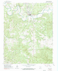
1966 Map of Yellville
USGS Topo · Published 1967About this map
Yellville serves as the focal point of this mid-1960s Ozark landscape, situated at a sharp bend in Crooked Creek where the Missouri Pacific railroad tracks trace the river's path. The settlement pattern reveals a transition from the town center to the adjoining village of Summit, with the shared Yellville-Summit Sch reflecting the integration of these neighboring communities. The terrain is deeply dissected by a network of drainage systems including Town Prong and Mill Creek, creating the ridges and hollows characteristic of the region.
Find a feature on this map
49 named features on this map. Tap any name to fly to it.
Don’t see what you’re looking for? This feature index may not catch every label — zoom into the map to look around manually.
Map Details
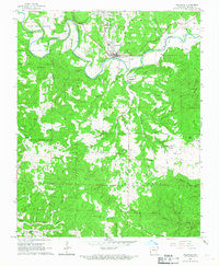
Editions of this 1966 Yellville Map
2 editions found
Other maps of this area

1893 · Yellville
USGS Topo · 1:125,000

1903 · Yellville
USGS Topo · 1:125,000

1905 · Yellville
USGS Topo · 1:125,000

1929 · Yellville
USGS Topo · 1:125,000

1945 · Harrison
USGS Topo · 1:250,000

1949 · Harrison
USGS Topo · 1:250,000

1954 · Harrison
USGS Topo · 1:250,000

1958 · Harrison
USGS Topo · 1:250,000

1964 · Harrison
USGS Topo · 1:250,000
1966 · Cozahome
USGS Topo · 1:24,000