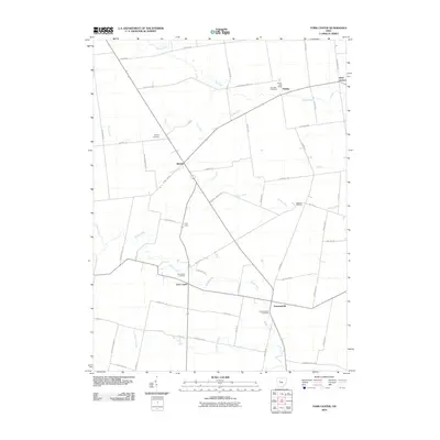
2010 Map of York Center
USGS Topo · Published 2010About this map
Bokes Creek and Fulton Creek meander through this rural section of Union County, defining a landscape of agricultural tradition and dispersed settlements. The area is anchored by historic crossroads such as Byhalia, York Center, and Summersville, each serving as a local focal point for the surrounding farmsteads. A notable concentration of burial sites, including Byhalia Cemetery and Burnside Cemetery, offers a genealogical map of the region's founding families. The presence of the Arbela Post Office near the northern boundary reflects the persistent importance of these small community centers. Transportation is governed by a rigid grid of local roads like Treaty Line Rd and Fish Daum Rd, which intersect at right angles across the drainage basins of Rush Creek and Rocky Fork.
Find a feature on this map
50 named features on this map. Tap any name to fly to it.
Don’t see what you’re looking for? This feature index may not catch every label — zoom into the map to look around manually.
Map Details
Editions of this 2010 York Center Map
This is the sole edition of this map. No revisions or reprints were ever made.
Other maps of this area

1913 · East Liberty
USGS Topo · 1:62,500

1913 · Richwood
USGS Topo · 1:62,500

1915 · Richwood
USGS Topo · 1:62,500

1915 · East Liberty
USGS Topo · 1:62,500

1915 · Kenton
USGS Topo · 1:62,500

1915 · La Rue
USGS Topo · 1:62,500

1944 · East Liberty
USGS Topo · 1:62,500

1944 · Kenton
USGS Topo · 1:62,500

1944 · Richwood
USGS Topo · 1:62,500

1950 · Marion
USGS Topo · 1:250,000