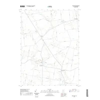
2019 Map of York Center
USGS Topo · Published 2019About this map
York Center and the surrounding agricultural landscapes of Union County are meticulously documented in this survey, showcasing a region defined by its historic rural intersections. Small settlements like Byhalia and Summersville serve as local hubs, connected by a dense network of township and county roads such as Co HWY 307 and Co HWY 339. The drainage patterns of the Central Ohio till plain are clearly visible through the winding paths of Rush Cr, Fulton Cr, and Bokes Creek. For genealogists and local historians, the map provides precise locations for several neighborhood burial grounds, including Burnside Cem, York Center Cem, and Byhalia Cem, which often stand as the primary physical markers of early family landholdings and community centers in this part of York Township.
Find a feature on this map
56 named features on this map. Tap any name to fly to it.
Don’t see what you’re looking for? This feature index may not catch every label — zoom into the map to look around manually.
Map Details
Editions of this 2019 York Center Map
This is the sole edition of this map. No revisions or reprints were ever made.
Other maps of this area

1913 · East Liberty
USGS Topo · 1:62,500

1913 · Richwood
USGS Topo · 1:62,500

1915 · Richwood
USGS Topo · 1:62,500

1915 · East Liberty
USGS Topo · 1:62,500

1915 · Kenton
USGS Topo · 1:62,500

1915 · La Rue
USGS Topo · 1:62,500

1944 · East Liberty
USGS Topo · 1:62,500

1944 · Kenton
USGS Topo · 1:62,500

1944 · Richwood
USGS Topo · 1:62,500

1950 · Marion
USGS Topo · 1:250,000