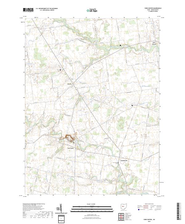
2023 Map of York Center
USGS Topo · Published 2023About this map
The unincorporated crossroads of Byhalia and York Center anchor this agricultural landscape in Union County, where rural life is defined by a dense network of county and township roads. The map highlights several early burial grounds, including the Byhalia Cem and York Center Cem, which serve as vital touchstones for genealogists tracing family histories in the Virginia Military District. The terrain is crisscrossed by numerous waterways, with Bokes Creek and Rush Creek carving subtle paths through the township. In the southeast, the village of Summersville sits near the Sommersville Cem, while further east, the settlement of West Jackson marks the map's border. This survey reveals a landscape of enduring small-town footprints, where rural communities have persisted alongside named landmarks like the East York Cem and Burnside Cem.
Find a feature on this map
54 named features on this map. Tap any name to fly to it.
Don’t see what you’re looking for? This feature index may not catch every label — zoom into the map to look around manually.
Map Details
Editions of this 2023 York Center Map
This is the sole edition of this map. No revisions or reprints were ever made.
Other maps of this area

1913 · East Liberty
USGS Topo · 1:62,500

1913 · Richwood
USGS Topo · 1:62,500

1915 · Richwood
USGS Topo · 1:62,500

1915 · East Liberty
USGS Topo · 1:62,500

1915 · Kenton
USGS Topo · 1:62,500

1915 · La Rue
USGS Topo · 1:62,500

1944 · East Liberty
USGS Topo · 1:62,500

1944 · Kenton
USGS Topo · 1:62,500

1944 · Richwood
USGS Topo · 1:62,500

1950 · Marion
USGS Topo · 1:250,000
Featured Places
- York Township, OH
- Liberty Township, OH
- Taylor Township, OH
- Washington Township, OH
- Claibourne Township, OH