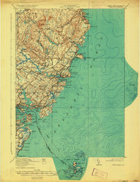
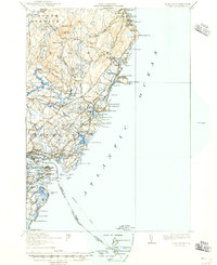
1920 Map of York
USGS Topo · Published 1933About this map
Mt Agamenticus anchors the interior of this coastal landscape, presiding over a network of early 20th-century settlements and maritime landmarks. The coast is defined by its distinct reach into the Atlantic Ocean, featuring the prominent Cape Neddick and the isolated Boon Island LH lighthouse. Infrastructure of the era is clearly visible, specifically the Atlantic Shore Electric Railway which connects the beach communities from Ogunquit down to York Beach and York Harbor.
Find a feature on this map
123 named features on this map. Tap any name to fly to it.
Don’t see what you’re looking for? This feature index may not catch every label — zoom into the map to look around manually.
Map Details
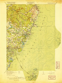
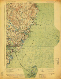
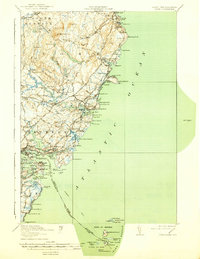
Editions of this 1920 York Map
6 editions found

Other maps of this area

1888 · Newburyport
USGS Topo · 1:62,500

1890 · Newburyport
USGS Topo · 1:62,500

1891 · Biddeford
USGS Topo · 1:62,500

1891 · Berwick
USGS Topo · 1:62,500

1891 · Kennebunk
USGS Topo · 1:62,500

1893 · Kennebunk
USGS Topo · 1:62,500

1893 · Dover
USGS Topo · 1:62,500

1893 · Berwick
USGS Topo · 1:62,500

1893 · York
USGS Topo · 1:62,500

1893 · Biddeford
USGS Topo · 1:62,500