
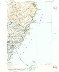
1920 Map of York
USGS Topo · Published 1920About this map
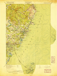
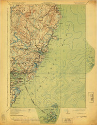
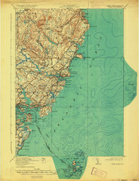
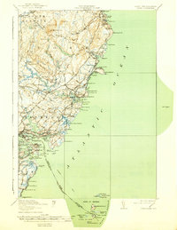
The coastal transition from Maine to New Hampshire is documented here during the late 1910s, revealing a landscape defined by maritime industry and early twentieth-century travel patterns. The shoreline is densely populated with historical infrastructure, from the Navy Yard and Coast Guard Sta near Kittery Point to the prominent Whaleback Lh guarding the entrance to the harbor. Further inland, the Post Road and an Electric Railway connect established centers like York Village and York Harbor, showing the influence of the rail-and-road network on local development. Numerous small schools, such as the Southside School and Lincoln School, serve the growing communities of York Corner and Scotland. The coastal geography is finely detailed, featuring named points and coves like Bald Head Cliff and Perkins Cove that have long anchored the region's fishing and tourism heritage.
Find a feature on this map
90 named features on this map. Tap any name to fly to it.
Don’t see what you’re looking for? This feature index may not catch every label — zoom into the map to look around manually.
Map Details
Editions of this 1920 York Map
6 editions found
Other maps of this area

1888 · Newburyport
USGS Topo · 1:62,500

1890 · Newburyport
USGS Topo · 1:62,500

1891 · Biddeford
USGS Topo · 1:62,500

1891 · Berwick
USGS Topo · 1:62,500

1891 · Kennebunk
USGS Topo · 1:62,500

1893 · Kennebunk
USGS Topo · 1:62,500

1893 · Dover
USGS Topo · 1:62,500

1893 · Berwick
USGS Topo · 1:62,500

1893 · York
USGS Topo · 1:62,500

1893 · Biddeford
USGS Topo · 1:62,500