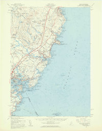
1956 Map of York
USGS Topo · Published 1960About this map
Mount Agamenticus anchors the interior of this coastal landscape, a prominent landmark overlooking a network of ponds such as Chases Pond and Folly Pond. The mid-1950s coastline shows a transition between traditional fishing harbors and burgeoning summer destinations, from the rocky shores of Ogunquit down to York Harbor. Along the Piscataqua River, the heavy military presence is evident at the Portsmouth Naval Base and several reservations, including U S Naval Res (Fort Foster) and U S Mil Res Fort Dearborn.
Find a feature on this map
181 named features on this map. Tap any name to fly to it.
Don’t see what you’re looking for? This feature index may not catch every label — zoom into the map to look around manually.
Map Details
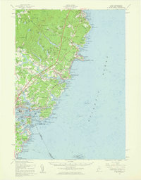
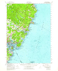
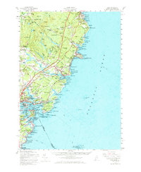
Editions of this 1956 York Map
4 editions found
Other maps of this area

1888 · Newburyport
USGS Topo · 1:62,500

1890 · Newburyport
USGS Topo · 1:62,500

1891 · Biddeford
USGS Topo · 1:62,500

1891 · Berwick
USGS Topo · 1:62,500

1891 · Kennebunk
USGS Topo · 1:62,500

1893 · Kennebunk
USGS Topo · 1:62,500

1893 · Dover
USGS Topo · 1:62,500

1893 · Berwick
USGS Topo · 1:62,500

1893 · York
USGS Topo · 1:62,500

1893 · Biddeford
USGS Topo · 1:62,500