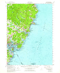
1956 Map of York
USGS Topo · Published 1964About this map
The coastal defense and maritime heritage of southern Maine define this mid-century landscape, anchored by the Portsmouth Naval Base and the strategic entrance to the Piscataqua River. The shoreline is dotted with historical fortifications such as Fort Constitution, Fort Stark, and Fort McClary State Park, marking centuries of military significance near Kittery and New Castle. Inland, the terrain rises toward Mt Agamenticus, where localized settlements like Agamenticus Village and Brixham Upper Corners reflect an older rural economy established long before the modern corridors of the Maine Turnpike and Blue Star Memorial Highway altered the pace of travel.
Find a feature on this map
101 named features on this map. Tap any name to fly to it.
Don’t see what you’re looking for? This feature index may not catch every label — zoom into the map to look around manually.
Map Details
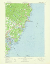
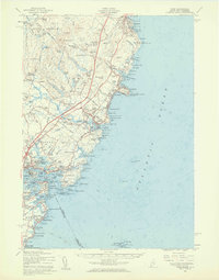
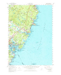
Editions of this 1956 York Map
4 editions found
Other maps of this area

1888 · Newburyport
USGS Topo · 1:62,500

1890 · Newburyport
USGS Topo · 1:62,500

1891 · Biddeford
USGS Topo · 1:62,500

1891 · Berwick
USGS Topo · 1:62,500

1891 · Kennebunk
USGS Topo · 1:62,500

1893 · Kennebunk
USGS Topo · 1:62,500

1893 · Dover
USGS Topo · 1:62,500

1893 · Berwick
USGS Topo · 1:62,500

1893 · York
USGS Topo · 1:62,500

1893 · Biddeford
USGS Topo · 1:62,500