Loading...
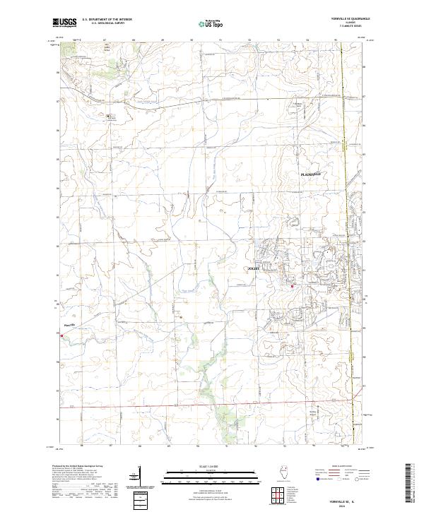
Loading map...2024 Map of Yorkville SE
USGS Topo · Published 2024About this map
Aux Sable Grove and the nearby Aux Sable Grove Cem represent the quiet rural legacy of this region, where farm roads like E Schoolhouse Rd and Caton Farm Rd cut across a landscape defined by an intricate network of waterways. The drainage pattern is dominated by the various branches of the Aux Sable system, including Middle Aux Sable Creek, East Aux Sable Creek, and West Aux Sable Creek, which converge as they move toward the southern edge of the quadrangle.
Find a feature on this map
101 named features on this map. Tap any name to fly to it.
Don’t see what you’re looking for? This feature index may not catch every label — zoom into the map to look around manually.
Map Details
Date Portrayed2024
Date Published2024
PublisherU.S. Geological Survey
Map TypeTopographic
Scale1:24000
Physical Dimensions24 x 29 inches
Editions of this 2024 Yorkville SE Map
This is the sole edition of this map. No revisions or reprints were ever made.
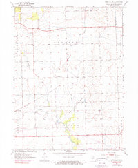
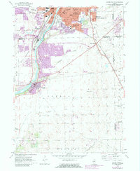
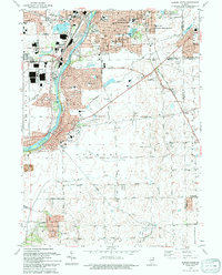
Historical Maps of Clublands Through Time
6 maps found
Featured Locations
Source Details
SourceU.S. Geological Survey
CopyrightPublic Domain