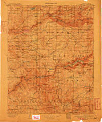
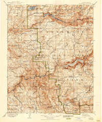
1909 Map of Yosemite
USGS Topo · Published 1911About this map
Yosemite valley and the high Sierra peaks are documented here following a survey conducted by R.B. Marshall in the 1890s. This early depiction of the region shows the landscape before the massive infrastructure changes of the twentieth century, with the Hetch Hetchy Reservoir and the Grand Canyon of the Tuolumne appearing in their late-frontier state. The map preserves the locations of early stopping points and homesteads that supported travelers entering the park by horse and wagon, including Hodgdon Ranch, Harden Ranch, and the Stage Station near the western boundary.
Find a feature on this map
184 named features on this map. Tap any name to fly to it.
Don’t see what you’re looking for? This feature index may not catch every label — zoom into the map to look around manually.
Map Details
Editions of this 1909 Yosemite Map
7 editions found

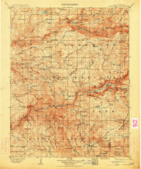
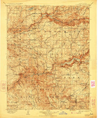
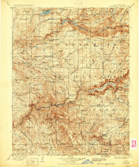
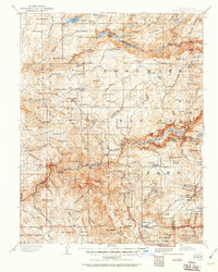
Other maps of this area

1891 · Big Trees
USGS Topo · 1:125,000

1893 · Sonora
USGS Topo · 1:125,000

1894 · Big Trees
USGS Topo · 1:125,000

1896 · Dardanelles
USGS Topo · 1:125,000

1896 · Sonora
USGS Topo · 1:125,000

1897 · Sonora
USGS Topo · 1:125,000

1897 · Big Trees
USGS Topo · 1:125,000

1897 · Yosemite
USGS Topo · 1:125,000

1898 · Dardanelles
USGS Topo · 1:125,000

1898 · Sonora
USGS Topo · 1:125,000