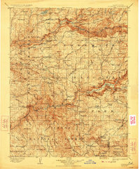
1909 Map of Yosemite
USGS Topo · Published 1923About this map
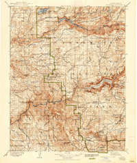
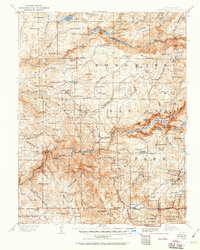
The Hetch Hetchy Reservoir and the nascent infrastructure of the Sierra Nevada mountains define this early 20th-century landscape. Following surveys conducted in the 1890s, this map documents the region before many modern developments, showing the early Hetch Hetchy Dam and the primary drainage of the Tuolumne River and Merced River. Remote outposts and early administrative sites such as the Hog Ranch Ranger Sta and Mariposa Grove Ranger Sta appear alongside pioneer homesteads like Harden Ranch. The transition from local ranching to federal management is evident as the Yosemite National Park boundary encompasses geological landmarks like Half Dome and Bridalveil Falls. Travelers of the era relied on the Tioga Road and the Wawona Road to navigate between settlements like El Portal and Wawona, which served as critical staging points for exploring the high country.
Find a feature on this map
181 named features on this map. Tap any name to fly to it.
Don’t see what you’re looking for? This feature index may not catch every label — zoom into the map to look around manually.
Map Details
Editions of this 1909 Yosemite Map
7 editions found

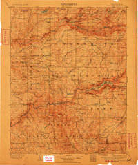
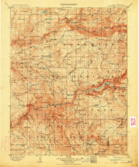
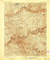
Other maps of this area

1891 · Big Trees
USGS Topo · 1:125,000

1893 · Sonora
USGS Topo · 1:125,000

1894 · Big Trees
USGS Topo · 1:125,000

1896 · Dardanelles
USGS Topo · 1:125,000

1896 · Sonora
USGS Topo · 1:125,000

1897 · Sonora
USGS Topo · 1:125,000

1897 · Big Trees
USGS Topo · 1:125,000

1897 · Yosemite
USGS Topo · 1:125,000

1898 · Dardanelles
USGS Topo · 1:125,000

1898 · Sonora
USGS Topo · 1:125,000