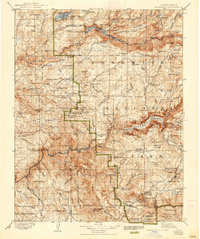
1909 Map of Yosemite
USGS Topo · Published 1938About this map
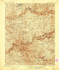
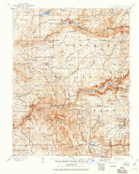
Yosemite National Park and the surrounding Sierra National Forest are shown here as they appeared during the transition into the early twentieth century. This sheet documents the landscape before the total flooding of the Hetch Hetchy Valley, noting both the Hetch Hetchy Reservoir and the Lake Eleanor Reservoir. Early infrastructure is visible through a network of ranger stations such as the Tuolumne Grove Ranger Sta and Gentry Ranger Sta, alongside established settlements like El Portal and Wawona.
Find a feature on this map
180 named features on this map. Tap any name to fly to it.
Don’t see what you’re looking for? This feature index may not catch every label — zoom into the map to look around manually.
Map Details
Editions of this 1909 Yosemite Map
7 editions found

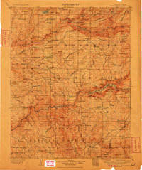
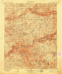
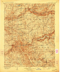
Other maps of this area

1891 · Big Trees
USGS Topo · 1:125,000

1893 · Sonora
USGS Topo · 1:125,000

1894 · Big Trees
USGS Topo · 1:125,000

1896 · Dardanelles
USGS Topo · 1:125,000

1896 · Sonora
USGS Topo · 1:125,000

1897 · Sonora
USGS Topo · 1:125,000

1897 · Big Trees
USGS Topo · 1:125,000

1897 · Yosemite
USGS Topo · 1:125,000

1898 · Dardanelles
USGS Topo · 1:125,000

1898 · Sonora
USGS Topo · 1:125,000