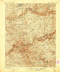
1909 Map of Yosemite
USGS Topo · Published 1929About this map
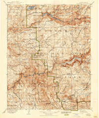
The Tuolumne River and Merced River basins define this early twentieth-century survey of the central Sierra Nevada, showing the region before many modern developments took shape. Based on fieldwork from the 1890s, the map documents a network of high-country ranger stations including Hog Ranch Ranger Sta and Gentry Ranger Sta, alongside early road systems like the Tioga Road and Coulterville Road. The topography illustrates the transition from the foothills near Darrah and Jerseydale to the iconic heights of the high Sierra.
Find a feature on this map
170 named features on this map. Tap any name to fly to it.
Don’t see what you’re looking for? This feature index may not catch every label — zoom into the map to look around manually.
Map Details
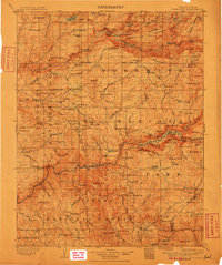
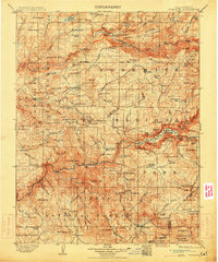
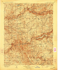
Editions of this 1909 Yosemite Map
7 editions found

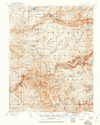
Other maps of this area

1891 · Big Trees
USGS Topo · 1:125,000

1893 · Sonora
USGS Topo · 1:125,000

1894 · Big Trees
USGS Topo · 1:125,000

1896 · Dardanelles
USGS Topo · 1:125,000

1896 · Sonora
USGS Topo · 1:125,000

1897 · Sonora
USGS Topo · 1:125,000

1897 · Big Trees
USGS Topo · 1:125,000

1897 · Yosemite
USGS Topo · 1:125,000

1898 · Dardanelles
USGS Topo · 1:125,000

1898 · Sonora
USGS Topo · 1:125,000