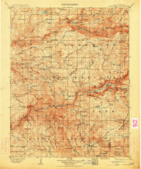
1909 Map of Yosemite
USGS Topo · Published 1914About this map
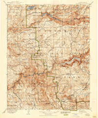
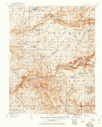
Yosemite National Park dominates this survey, conducted originally in the late 19th century and revised just before the onset of the Great War. The landscape shows early mountain infrastructure, including the Stage Station and several remote outposts like Hog Ranch and Hazel Green. The survey emphasizes the region's massive timber and valley geography, marking the Tuolumne Grove Big Trees, Merced Grove Big Trees, and the famous Mariposa Grove Big Trees. At El Portal, the terminus of the Yosemite Valley Railroad is visible near Hennesy. High-altitude features such as Half Dome and Cathedral Rocks are documented alongside early trails like the Pohono Trail and El Capitan Trail, illustrating the park's early years as a managed wilderness under the Sierra National Forest and Stanislaus National Forest.
Find a feature on this map
182 named features on this map. Tap any name to fly to it.
Don’t see what you’re looking for? This feature index may not catch every label — zoom into the map to look around manually.
Map Details
Editions of this 1909 Yosemite Map
7 editions found

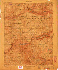
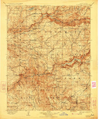
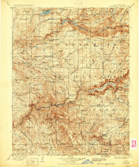
Other maps of this area

1891 · Big Trees
USGS Topo · 1:125,000

1893 · Sonora
USGS Topo · 1:125,000

1894 · Big Trees
USGS Topo · 1:125,000

1896 · Dardanelles
USGS Topo · 1:125,000

1896 · Sonora
USGS Topo · 1:125,000

1897 · Sonora
USGS Topo · 1:125,000

1897 · Big Trees
USGS Topo · 1:125,000

1897 · Yosemite
USGS Topo · 1:125,000

1898 · Dardanelles
USGS Topo · 1:125,000

1898 · Sonora
USGS Topo · 1:125,000