
1907 Map of Younts Peak
USGS Topo · Published 1907About this map
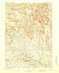
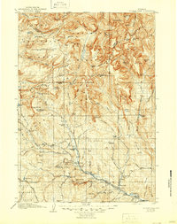
Dubois and the surrounding ranchlands of the Yellowstone Forest Reserve define this 1907 survey of the upper Wind River country. The map captures a frontier landscape where early settlement is marked by family-named holdings such as Rocking Chair Ranch, Weltys Hall, and Hinton's Ranch. The high-altitude geography of the Absaroka Mountains and the Continental Divide dominates the northern half of the sheet, featuring the glacial origins of the Yellowstone River near Younts Peak.
Find a feature on this map
107 named features on this map. Tap any name to fly to it.
Don’t see what you’re looking for? This feature index may not catch every label — zoom into the map to look around manually.
Map Details
Editions of this 1907 Younts Peak Map
3 editions found
Other maps of this area

1885 · Lake
USGS Topo · 1:125,000

1893 · Ishawooa
USGS Topo · 1:125,000

1895 · Ishawooa
USGS Topo · 1:125,000

1895 · Lake
USGS Topo · 1:125,000

1896 · Lake
USGS Topo · 1:125,000

1899 · Ishawooa
USGS Topo · 1:125,000

1901 · Lake
USGS Topo · 1:125,000

1902 · Mt Leidy
USGS Topo · 1:125,000

1904 · Kirwin
USGS Topo · 1:125,000

1905 · Younts Peak
USGS Topo · 1:125,000