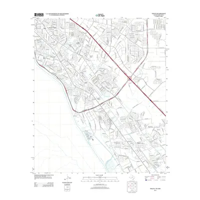
2012 Map of Ysleta
USGS Topo · Published 2012About this map
Ysleta and its surrounding communities dominate this 2012 survey, situated along the international border defined by the Rio Grande. The landscape is a complex intersection of suburban expansion and a historic irrigation network, featuring an extensive system of man-made waterways including the Juan de Herrera Main Lateral and Riverside Canal. These channels, alongside drains like the Playa Intercepting Drain, reflect the long-standing agricultural management of the river valley even as residential developments such as Hacienda Heights, Loma Terrace, and Belen have matured.
Find a feature on this map
44 named features on this map. Tap any name to fly to it.
Don’t see what you’re looking for? This feature index may not catch every label — zoom into the map to look around manually.
Map Details
Editions of this 2012 Ysleta Map
This is the sole edition of this map. No revisions or reprints were ever made.
Other maps of this area

1896 · El Paso
USGS Topo · 1:125,000

1908 · El Paso
USGS Topo · 1:125,000

1939 · Ysleta
USGS Topo · 1:62,500

1939 · Heuco Tanks
USGS Topo · 1:62,500

1940 · Heuco Tanks
USGS Topo · 1:62,500

1941 · El Paso
USGS Topo · 1:31,680

1941 · Clint
USGS Topo · 1:62,500

1941 · Ysleta
USGS Topo · 1:62,500

1942 · Fort Bliss
USGS Topo · 1:62,500

1943 · El Paso
USGS Topo · 1:31,680