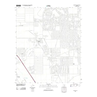
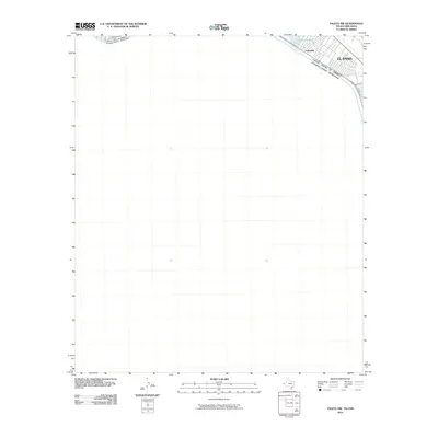
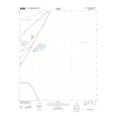
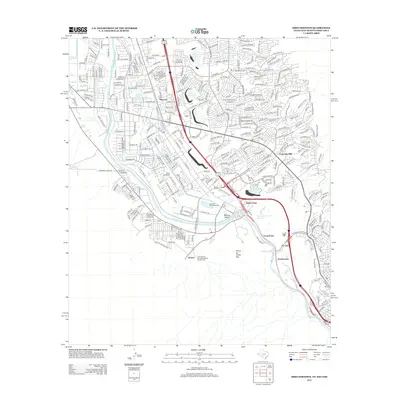
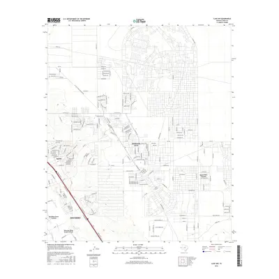
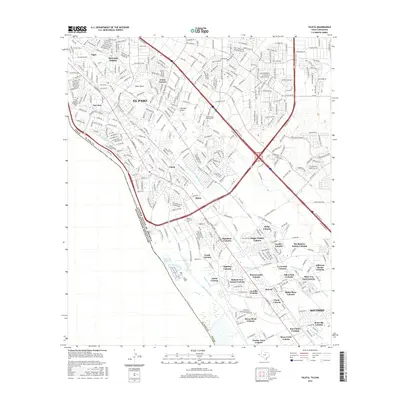
1955 Map of Ysleta NW
USGS Topo · Published 1991About this map
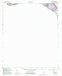
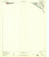
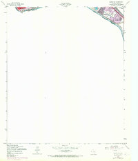
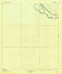
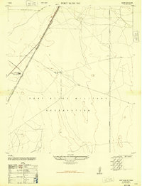
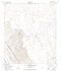
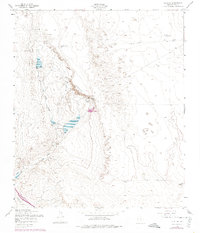
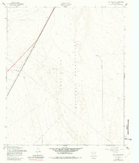
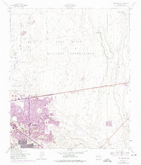
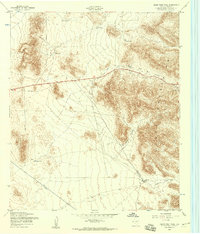
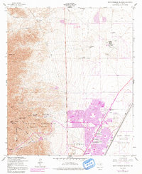
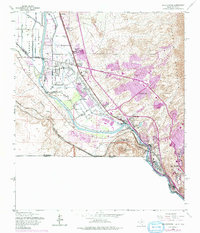
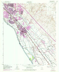
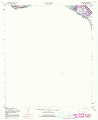
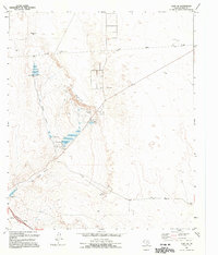
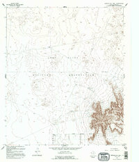
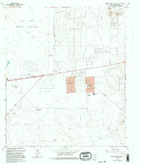
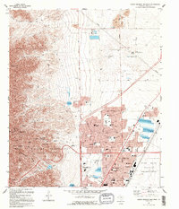
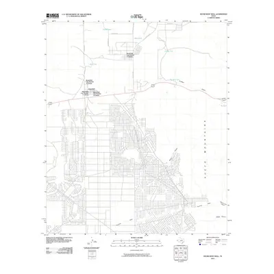
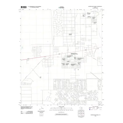
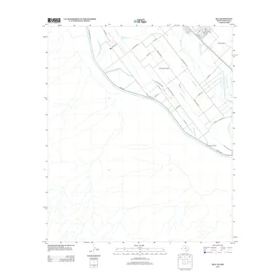
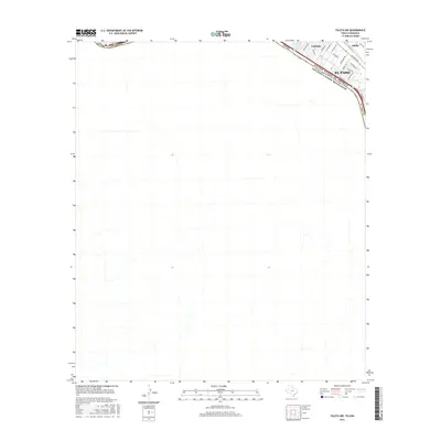
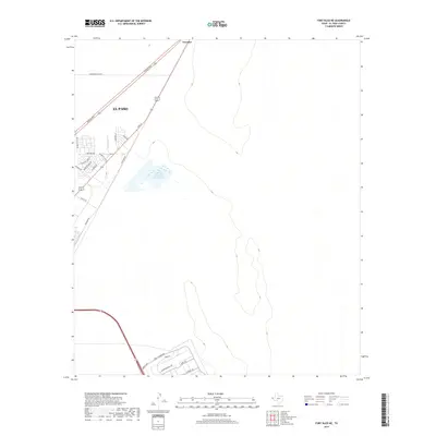
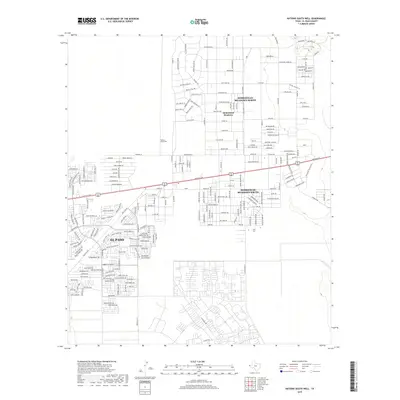
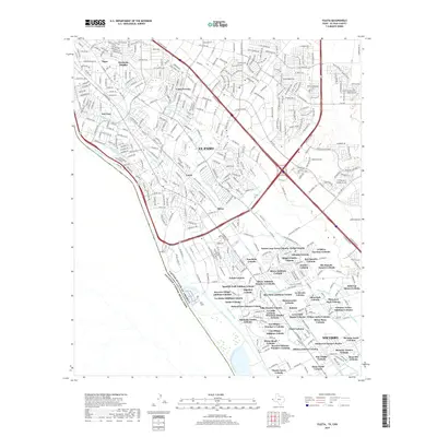
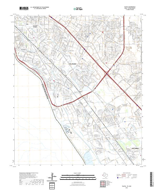
The Rio Grande serves as the focal point of this borderland survey, marking the international boundary between the United States and Mexico along the outskirts of El Paso. This area represents a complex zone of urban expansion and water management, evidenced by the inclusion of the Chamizal and Convention Bdy labels, reflecting historical land and boundary adjustments. To the east, the residential developments of Lakeside and Alfalfa appear adjacent to the Texas and New Orleans railroad line, while the Playa Intercepting Drain and Playa Drain demonstrate the region's engineered irrigation and drainage network. Recreational spaces like Ascarate Park, containing Ascarate Lake and a Golf Course, offer a contrast to the industrial and logistical infrastructure of the Toll Bridges that connect the neighboring nations across the river.
Find a feature on this map
17 named features on this map. Tap any name to fly to it.
Don’t see what you’re looking for? This feature index may not catch every label — zoom into the map to look around manually.
Map Details
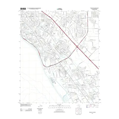
Editions of this 1955 Ysleta NW Map
Historical Maps of El Paso County Through Time
107 maps found
1896 Rio Grande
El Paso County, TX

1939 Heuco Tanks
El Paso County, TX

1940 Heuco Tanks
El Paso County, TX

1944 Heuco Tanks
El Paso County, TX
1948 Fort Bliss NE
El Paso County, TX

1948 Fort Bliss SE
El Paso County, TX
1948 Helms West Well
El Paso County, TX
1948 Heuco Tanks
El Paso County, TX
1955 Clint NE
El Paso County, TX
1955 Clint NW
El Paso County, TX
1955 Clint SE
El Paso County, TX
1955 Fort Bliss NE
El Paso County, TX
1955 Fort Bliss SE
El Paso County, TX
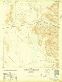
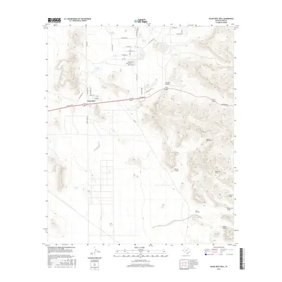
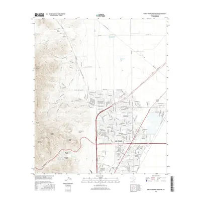
1955 Helms West Well
El Paso County, TX
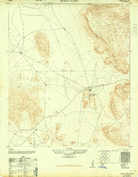
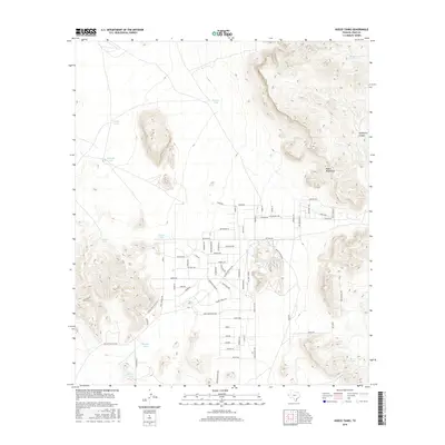
1955 Heuco Tanks
El Paso County, TX
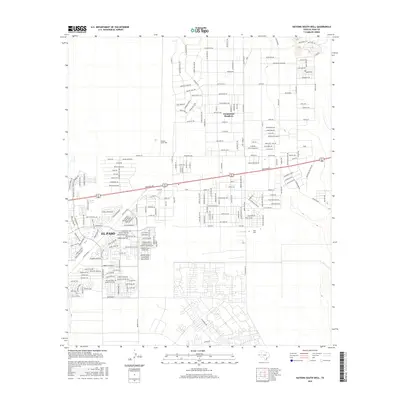
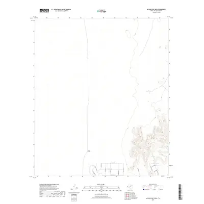
1955 Nations East Well
El Paso County, TX
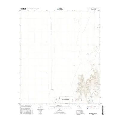
1955 Nations South Well
El Paso County, TX
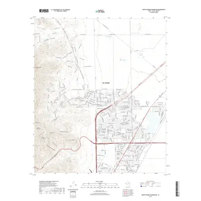
1955 North Franklin Mountain
El Paso County, TX
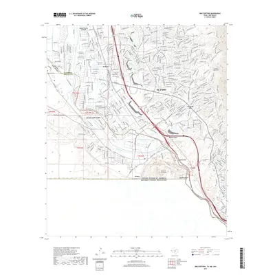
1955 Smeltertown
El Paso County, TX
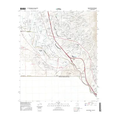
1955 Ysleta
El Paso County, TX
1955 Ysleta NW
El Paso County, TX
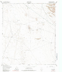
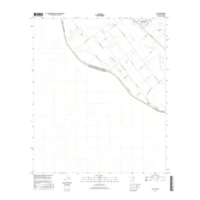
1972 Isla
El Paso County, TX
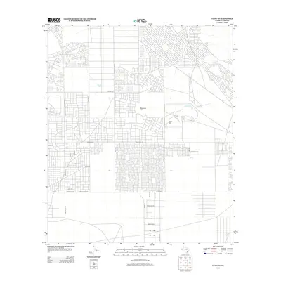
1990 Ysleta NW
El Paso County, TX
1994 Fort Bliss SE
El Paso County, TX

1994 Smeltertown
El Paso County, TX

1994 Ysleta
El Paso County, TX
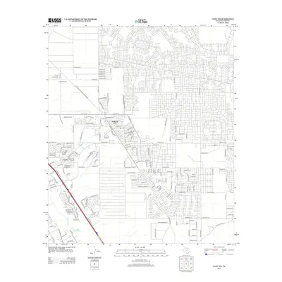
1994 Ysleta NW
El Paso County, TX
1995 Clint NE
El Paso County, TX

1995 Clint NW
El Paso County, TX
1995 Clint SE
El Paso County, TX
1995 Fort Bliss NE
El Paso County, TX
1995 Helms West Well
El Paso County, TX
1995 Hueco Tanks
El Paso County, TX
1995 Nations East Well
El Paso County, TX
1995 Nations South Well
El Paso County, TX
1995 North Franklin Mountain
El Paso County, TX

1996 Smeltertown
El Paso County, TX
2010 Clint NE
El Paso County, TX
2010 Clint NW
El Paso County, TX
2010 Clint SE
El Paso County, TX
2010 Fort Bliss NE
El Paso County, TX
2010 Fort Bliss SE
El Paso County, TX
2010 Helms West Well
El Paso County, TX
2010 Hueco Tanks
El Paso County, TX
2010 Isla
El Paso County, TX
2010 Nations East Well
El Paso County, TX
2010 Nations South Well
El Paso County, TX
2010 North Franklin Mountain
El Paso County, TX
2010 Smeltertown
El Paso County, TX
2010 Ysleta
El Paso County, TX
2010 Ysleta NW
El Paso County, TX
2012 Clint NE
El Paso County, TX
2012 Clint NW
El Paso County, TX
2012 Clint SE
El Paso County, TX
2012 Fort Bliss NE
El Paso County, TX
2012 Fort Bliss SE
El Paso County, TX
2012 Helms West Well
El Paso County, TX
2012 Hueco Tanks
El Paso County, TX
2012 Isla
El Paso County, TX
2012 Nations East Well
El Paso County, TX
2012 Nations South Well
El Paso County, TX
2012 North Franklin Mountain
El Paso County, TX
2012 Smeltertown
El Paso County, TX
2012 Ysleta
El Paso County, TX
2012 Ysleta NW
El Paso County, TX
2016 Clint NE
El Paso County, TX
2016 Clint NW
El Paso County, TX
2016 Clint SE
El Paso County, TX
2016 Fort Bliss NE
El Paso County, TX
2016 Fort Bliss SE
El Paso County, TX
2016 Helms West Well
El Paso County, TX
2016 Hueco Tanks
El Paso County, TX
2016 Isla
El Paso County, TX
2016 Nations East Well
El Paso County, TX
2016 Nations South Well
El Paso County, TX
2016 North Franklin Mountain
El Paso County, TX
2016 Smeltertown
El Paso County, TX
2016 Ysleta
El Paso County, TX
2016 Ysleta NW
El Paso County, TX
2019 Clint NE
El Paso County, TX
2019 Clint NW
El Paso County, TX
2019 Clint SE
El Paso County, TX
2019 Fort Bliss NE
El Paso County, TX
2019 Fort Bliss SE
El Paso County, TX
2019 Helms West Well
El Paso County, TX
2019 Hueco Tanks
El Paso County, TX

2019 Isla
El Paso County, TX
2019 Nations East Well
El Paso County, TX
2019 Nations South Well
El Paso County, TX
2019 North Franklin Mountain
El Paso County, TX
2019 Smeltertown
El Paso County, TX
2019 Ysleta
El Paso County, TX
2019 Ysleta NW
El Paso County, TX

2022 Clint NE
El Paso County, TX

2022 Clint NW
El Paso County, TX
2022 Clint SE
El Paso County, TX
2022 Fort Bliss NE
El Paso County, TX
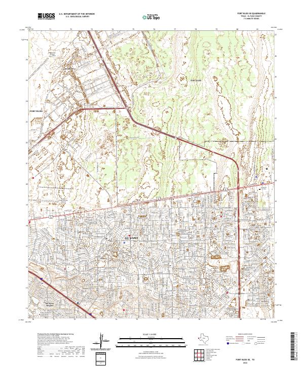
2022 Fort Bliss SE
El Paso County, TX
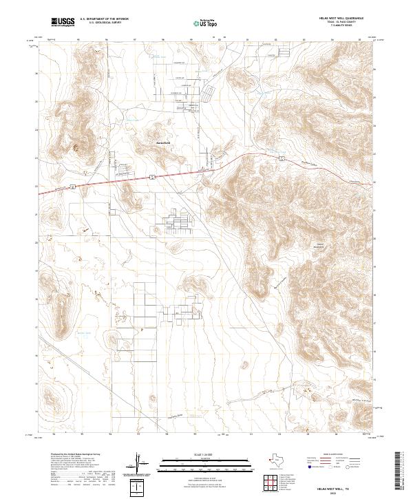
2022 Helms West Well
El Paso County, TX
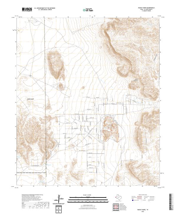
2022 Hueco Tanks
El Paso County, TX
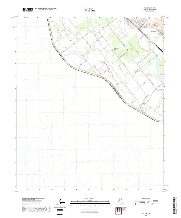
2022 Isla
El Paso County, TX
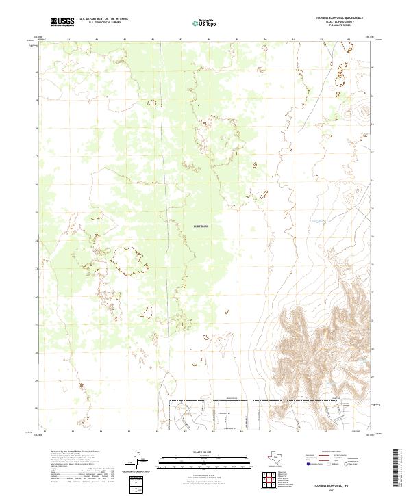
2022 Nations East Well
El Paso County, TX
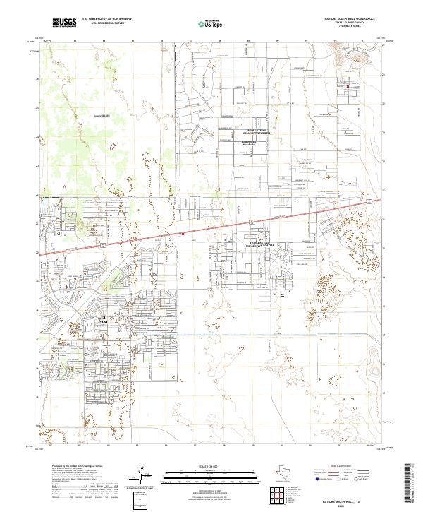
2022 Nations South Well
El Paso County, TX
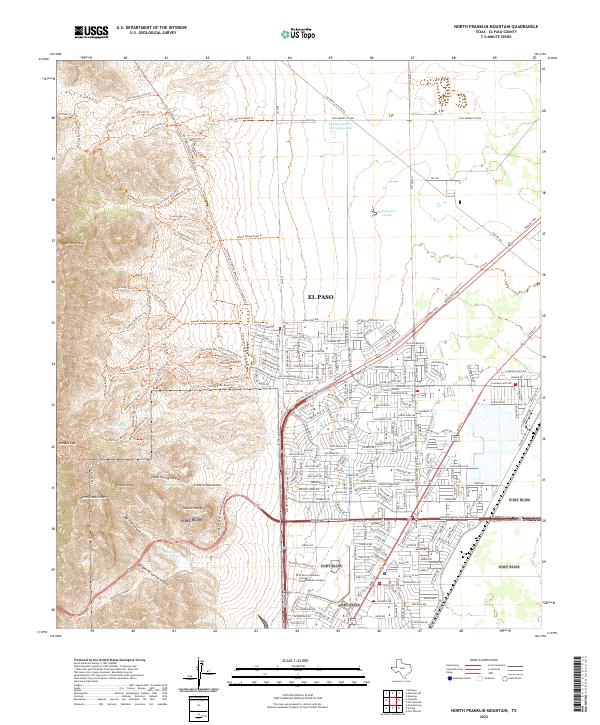
2022 North Franklin Mountain
El Paso County, TX
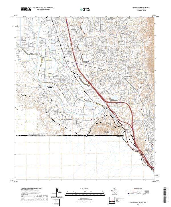
2022 Smeltertown
El Paso County, TX
2022 Ysleta
El Paso County, TX
2022 Ysleta NW
El Paso County, TX