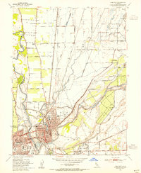
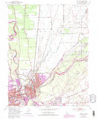
1952 Map of Yuba City
USGS Topo · Published 1954About this map
The confluence of the Feather River and Yuba River defines the layout of these twin California cities in the early 1950s. While Marysville shows a dense urban grid centered around Ellis Lake and institutional landmarks like the Notre Dame Convent and Yuba Jr College, Yuba City across the water is shown in a phase of post-war expansion. The surrounding landscape is heavily engineered for water management and transit, featuring a network of levees, the Western Pacific and Southern Pacific railroads, and named rural outposts like Sevenmile House and District 10 Store. To the east, the map reveals the industrial footprint of hydraulic mining history with extensive Tailings and the Dantoni settlement. This survey documents the transition from a purely agricultural and river-bound economy to a more modern regional hub, including early car-culture features like the Drive-in Theatre near the city limits.
Find a feature on this map
60 named features on this map. Tap any name to fly to it.
Don’t see what you’re looking for? This feature index may not catch every label — zoom into the map to look around manually.
Map Details
Editions of this 1952 Yuba City Map
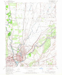
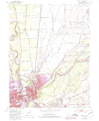
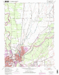
5 editions found
Other maps of this area

1888 · Marysville
USGS Topo · 1:125,000

1888 · Smartsville
USGS Topo · 1:125,000

1891 · Marysville
USGS Topo · 1:125,000

1891 · Smartsville
USGS Topo · 1:125,000

1892 · Smartsville
USGS Topo · 1:125,000

1894 · Smartsville
USGS Topo · 1:125,000

1894 · Marysville
USGS Topo · 1:125,000

1895 · Marysville
USGS Topo · 1:125,000

1895 · Smartsville
USGS Topo · 1:125,000

1910 · Wheatland
USGS Topo · 1:31,680