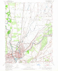
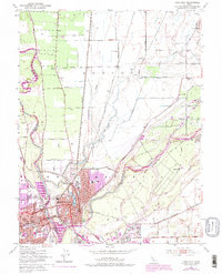
1952 Map of Yuba City
USGS Topo · Published 1966About this map
The confluence of the Feather River and Yuba River defines this mid-century landscape, where the twin cities of Marysville and Yuba City serve as the region's urban core. In Marysville, the street grid is punctuated by the expansive Ellis Lake and institutional landmarks like the Notre Dame Convent and Marysville Cemetery. The surrounding agricultural lands are interconnected by an intricate network of irrigation ditches and sloughs, including Simmerly Slough and Jack Slough, which bypass rural outposts like the District 10 Store and Sevenmile House. Heavy rail infrastructure from the Western Pacific and Southern Pacific lines highlights the area's role as a transportation hub. To the southeast, the edge of the Beale Military Reservation begins to appear, signaling the military's growing footprint in the Sacramento Valley.
Find a feature on this map
48 named features on this map. Tap any name to fly to it.
Don’t see what you’re looking for? This feature index may not catch every label — zoom into the map to look around manually.
Map Details
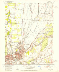
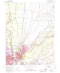
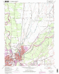
Editions of this 1952 Yuba City Map
5 editions found
Other maps of this area

1888 · Marysville
USGS Topo · 1:125,000

1888 · Smartsville
USGS Topo · 1:125,000

1891 · Marysville
USGS Topo · 1:125,000

1891 · Smartsville
USGS Topo · 1:125,000

1892 · Smartsville
USGS Topo · 1:125,000

1894 · Smartsville
USGS Topo · 1:125,000

1894 · Marysville
USGS Topo · 1:125,000

1895 · Marysville
USGS Topo · 1:125,000

1895 · Smartsville
USGS Topo · 1:125,000

1910 · Wheatland
USGS Topo · 1:31,680