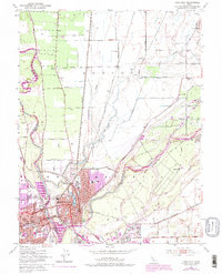
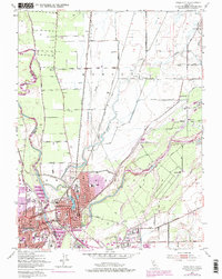
1952 Map of Yuba City
USGS Topo · Published 1975About this map
The confluence of the Feather River and the Yuba River anchors this mid-century topographic record of the northern Sacramento Valley. The twin cities of Marysville and Yuba City are shown in high detail, with a complex network of levees protecting the urban centers from the volatile waterways. The urban landscape includes distinctive features such as Ellis Lake, the Notre Dame Convent, and the Rideout Memorial Hospital.
Find a feature on this map
43 named features on this map. Tap any name to fly to it.
Don’t see what you’re looking for? This feature index may not catch every label — zoom into the map to look around manually.
Map Details
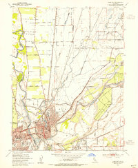
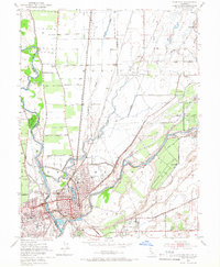
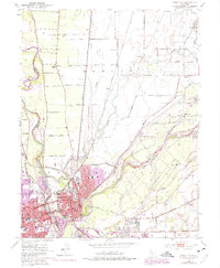
Editions of this 1952 Yuba City Map
5 editions found
Other maps of this area

1888 · Marysville
USGS Topo · 1:125,000

1888 · Smartsville
USGS Topo · 1:125,000

1891 · Marysville
USGS Topo · 1:125,000

1891 · Smartsville
USGS Topo · 1:125,000

1892 · Smartsville
USGS Topo · 1:125,000

1894 · Smartsville
USGS Topo · 1:125,000

1894 · Marysville
USGS Topo · 1:125,000

1895 · Marysville
USGS Topo · 1:125,000

1895 · Smartsville
USGS Topo · 1:125,000

1910 · Wheatland
USGS Topo · 1:31,680