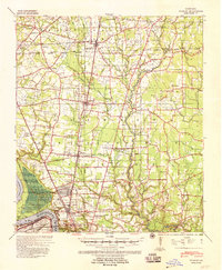
1939 Map of Zachary
USGS Topo · Published 1958About this map
Scotlandville and the Belair Plantation sit at the southern edge of this survey, where the Mississippi River makes the sharp turn at Springfield Bend. The landscape transitions from the river's active alluvial zone, including the expansive Devil's Swamp, to the settled agricultural uplands of East Baton Rouge Parish. The inland economy in the late 1930s is defined by a dense network of country churches and schools, such as Leland College near Baker and Davis-Dyer Sch further east.
Find a feature on this map
74 named features on this map. Tap any name to fly to it.
Don’t see what you’re looking for? This feature index may not catch every label — zoom into the map to look around manually.
Map Details
Editions of this 1939 Zachary Map
2 editions found
Other maps of this area

1906 · Bayou Sara
USGS Topo · 1:125,000

1908 · Baton Rouge
USGS Topo · 1:62,500

1934 · Denham Springs
USGS Topo · 1:62,500

1939 · St. Francisville
USGS Topo · 1:62,500

1939 · Zachary
USGS Topo · 1:62,500

1939 · Denham Springs
USGS Topo · 1:62,500

1939 · Baton Rouge
USGS Topo · 1:62,500

1940 · Grosse Tete
USGS Topo · 1:62,500

1942 · Pride
USGS Topo · 1:31,680

1942 · Watson
USGS Topo · 1:31,680