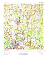
1963 Map of Zachary
USGS Topo · Published 1971About this map
The Mississippi River creates a dramatic western boundary for this mid-century survey, forming the sharp curves of Mulatto Bend and Springfield Bend. Near the riverfront, industrial development is evident in the Baton Rouge Harbor and the Alsen Oil Field, while the southern portion of the map is anchored by the campus of Southern University and the expanding northern reaches of Baton Rouge.
Find a feature on this map
117 named features on this map. Tap any name to fly to it.
Don’t see what you’re looking for? This feature index may not catch every label — zoom into the map to look around manually.
Map Details
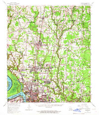
Editions of this 1963 Zachary Map
2 editions found
Other maps of this area

1906 · Bayou Sara
USGS Topo · 1:125,000

1908 · Baton Rouge
USGS Topo · 1:62,500

1934 · Denham Springs
USGS Topo · 1:62,500

1939 · St. Francisville
USGS Topo · 1:62,500

1939 · Zachary
USGS Topo · 1:62,500

1939 · Denham Springs
USGS Topo · 1:62,500

1939 · Baton Rouge
USGS Topo · 1:62,500

1940 · Grosse Tete
USGS Topo · 1:62,500

1942 · Pride
USGS Topo · 1:31,680

1942 · Watson
USGS Topo · 1:31,680